Teglholmen, Copenhagen

Gallery (2)
Map
Map
Gallery
Facts and practical information
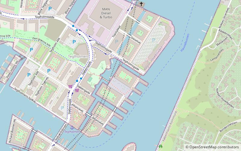
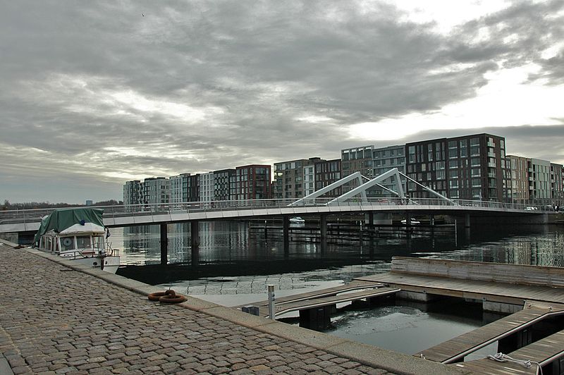
Teglholmen is a peninsula in the South Harbour of Copenhagen, Denmark, located between Sluseholmen and Enghave Brygge. The former dockland area used to house heavy industry. While some industry activities remain in the area, but since most industry left the area, starting in the 1970s, it has undergone massive redevelopment, though some industrial activities remain, most notably MAN B&W Diesel's motor development plant. Today the area houses both a considerable number of Danish and regional headquarters of multinational companies and residential developments. Teglholmen is home to Aalborg University's AAU Cph Campus as well as TV 2's activities in Copenhagen. ()
Address
Vesterbro - Kongens Enghave (Sydhavnens)Copenhagen
ContactAdd
Social media
Add
Getting there by public transportation
Public transportation stops near this location
- Metro
- Bus
- Light rail
- Train
- Ferry
 Metro
Metro
- Calculate routeAlliancevej 3 min walk
- Calculate routeTeglholm Allé 5 min walk
- Calculate routeScandiagade 13 min walk
- Calculate routeHF Sønderbro 13 min walk
- Calculate routeTeglholmen 6 min walk
- Calculate routeBryggebroen 26 min walk
- Calculate routeEnghave Brygge 8 min walk
- Calculate routeSluseholmen 13 min walk
- Calculate routeMozarts Plads 21 min walk
- Calculate routeHavneholmen 21 min walk
- Calculate routeSydhavn 20 min walk
- Calculate routeDybbølsbro 28 min walk
- Calculate routeSjælør 28 min walk
- Calculate routeCarlsberg 31 min walk
- Calculate routeBella Center 35 min walk
Maps Metro
Metro
MetroDay trips


Frequently Asked Questions (FAQ)
Which popular attractions are close to Teglholmen?
Nearby attractions include Teglværksbroen, Copenhagen (6 min walk), Sluseholmen Canal District, Copenhagen (9 min walk), Enghave Brygge, Copenhagen (10 min walk), Sluseholmen, Copenhagen (11 min walk).
How to get to Teglholmen by public transport?
The nearest stations to Teglholmen:
Bus
Ferry
Train
Light rail
Metro
Bus
- Alliancevej • Lines: 7A (3 min walk)
- Teglholm Allé • Lines: 7A (5 min walk)
Ferry
- Teglholmen • Lines: 991, 992 (6 min walk)
- Bryggebroen • Lines: 991, 992 (26 min walk)
Train
- Enghave Brygge (8 min walk)
- Sluseholmen (13 min walk)
Light rail
- Sydhavn • Lines: A, E (20 min walk)
- Dybbølsbro • Lines: A, B, Bx, C, E, H (28 min walk)
Metro
- Bella Center • Lines: M1 (35 min walk)