Mahatet El Raml, Alexandria
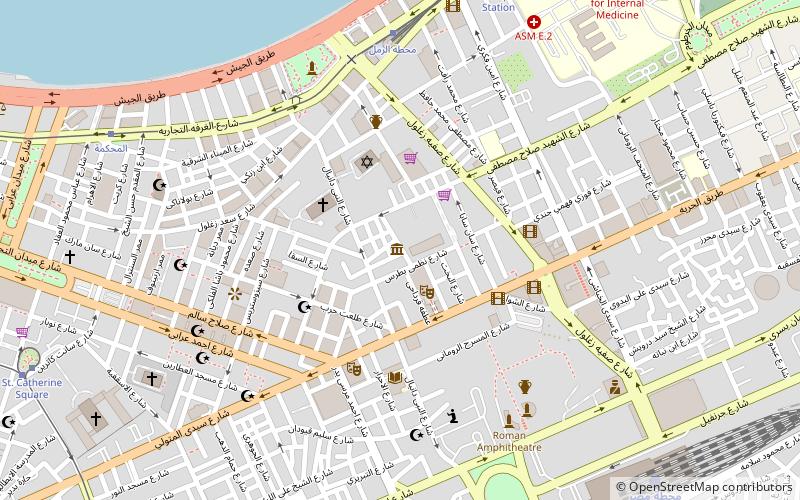
Map
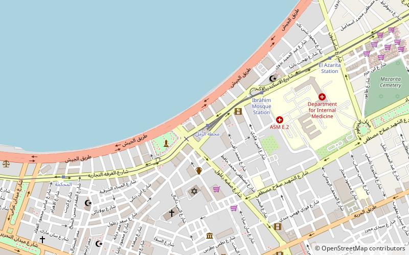
Map

Facts and practical information
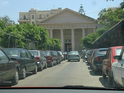
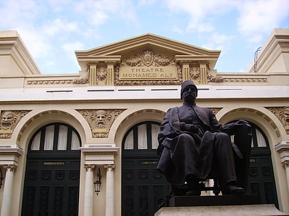
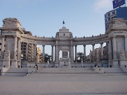
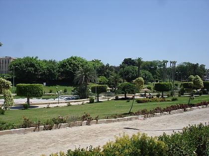
Mahatet El Raml is a neighborhood in Alexandria, Egypt. It features a large public square containing the main station of the Alexandria tramways. It is one of the main centers for tourism, retail, and entertainment in the city. ()
Local name: محطة الرملCoordinates: 31°12'5"N, 29°54'4"E
Address
Alexandria
ContactAdd
Social media
Add
Day trips
Mahatet El Raml – popular in the area (distance from the attraction)
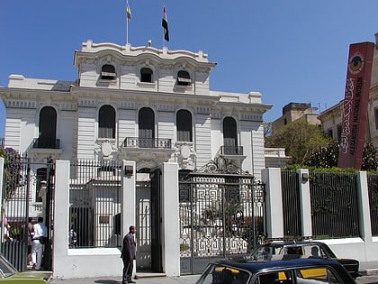
Nearby attractions include: Kom El Deka, Alexandria National Museum, Greek Orthodox Church of Alexandria, Sadat Museum.
Frequently Asked Questions (FAQ)
Which popular attractions are close to Mahatet El Raml?
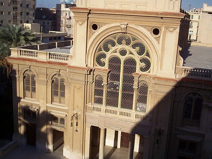
Nearby attractions include Caesareum of Alexandria, Alexandria (3 min walk), Eliyahu Hanavi Synagogue, Alexandria (5 min walk), Cavafy Museum, Alexandria (7 min walk), Alexandria Opera House, Alexandria (8 min walk).
How to get to Mahatet El Raml by public transport?
The nearest stations to Mahatet El Raml:
Tram
Bus
Train
Tram
- Ramleh Station (1 min walk)
- Al-Raml Station (1 min walk)
Bus
- محطة الرمل (1 min walk)
- Al-Anfushi Bus Station (31 min walk)
Train
- Masr station (17 min walk)

