Imbaba Bridge, Cairo
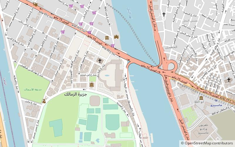
Map
Map

Facts and practical information
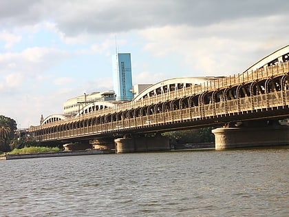
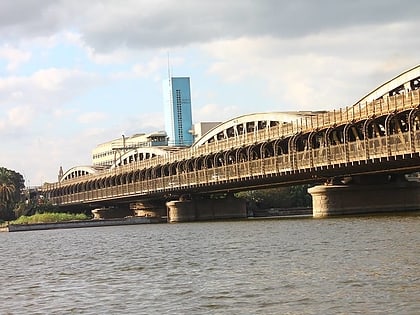
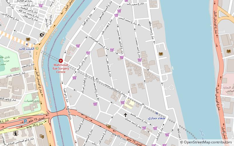
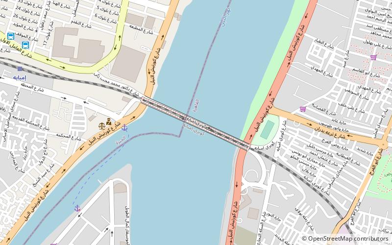
The Imbaba Bridge is a major railway bridge located in Cairo, Egypt across the Nile River. It is located about 935 kilometres downstream from Aswan Dam. Imbaba Bridge is currently the only railway bridge across the Nile in Cairo. The current version of the bridge was built between 1912 and 1924 by the Belgian firm Baume-Marpent. The first iteration of the bridge was constructed in 1891 and was designed to allow railways to cross the Nile River west towards the Giza Train Station. ()
Local name: كوبري إمبابةCoordinates: 30°4'30"N, 31°13'32"E
Address
شبرا (shbra)Cairo
ContactAdd
Social media
Add
Day trips
Imbaba Bridge – popular in the area (distance from the attraction)
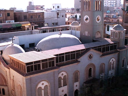
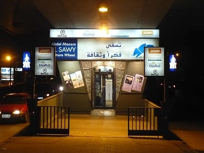
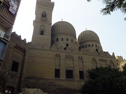
Nearby attractions include: St. Mary Massarra, El-Sawy Cultural Wheel, Tomb of Salar and Sangar-al-Gawli, Gezirah Palace.
Frequently Asked Questions (FAQ)
Which popular attractions are close to Imbaba Bridge?
Nearby attractions include Egyptian National Library and Archives, Cairo (16 min walk), Zamalek, Cairo (20 min walk), Rod El Farag, Cairo (22 min walk).
How to get to Imbaba Bridge by public transport?
The nearest stations to Imbaba Bridge:
Train
Metro
Bus
Train
- Imbaba (13 min walk)
Metro
- Massara • Lines: 2 (31 min walk)
Bus
- الخازندارا (34 min walk)
- Turgoman Bus Station (36 min walk)
