Zamalek, Cairo
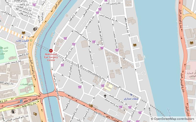
Map
Facts and practical information
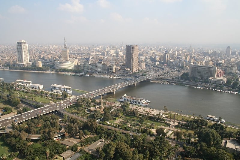
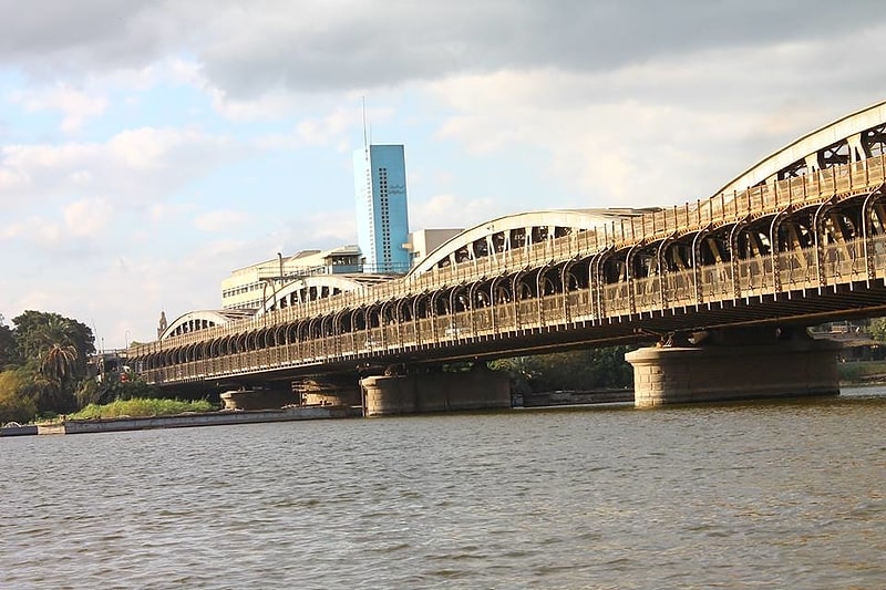
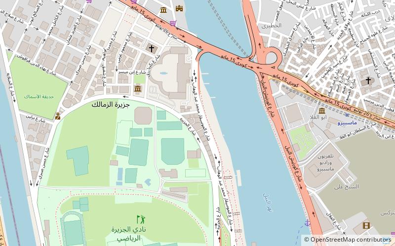
Zamalek is an affluent district of western Cairo encompassing the northern portion of Gezira Island in the Nile River. The island is connected with the river banks through three bridges each on the east and west sides of the island, including the Qasr El Nil Bridge and 6th October Bridge. It has witnessed many phases of growth affected by many economic and political currents which has led to a crowding of parts of the island including great reductions in the Zamalek district's open green areas, but with a large greenbelt across the island's middle defining the two districts. ()
Address
زمالك (zmalk)Cairo
ContactAdd
Social media
Add
Getting there by public transportation
Public transportation stops near this location
- Metro
- Bus
- Train
 Metro
Metro
- Calculate routeImbaba 22 min walk
- Calculate routeTurgoman Bus Station 31 min walk
- Calculate routeAbd el Moniem Riad 34 min walk
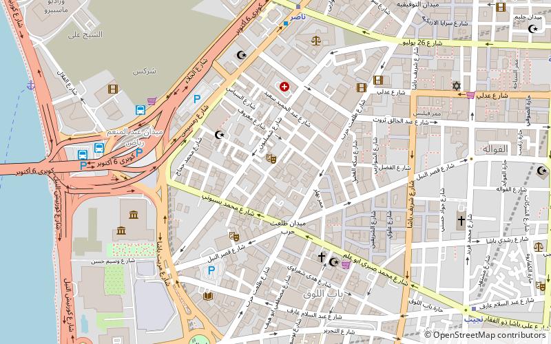
- Calculate routeNasser 36 min walk
Day trips

Frequently Asked Questions (FAQ)
Which popular attractions are close to Zamalek?
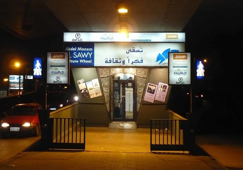
Nearby attractions include El-Sawy Cultural Wheel, Cairo (7 min walk), Loft Gallery, Cairo (11 min walk), Egyptian National Library and Archives, Cairo (13 min walk), All Saints' Cathedral, Cairo (14 min walk).
How to get to Zamalek by public transport?
The nearest stations to Zamalek:
Train
Bus
Metro
Train
- Imbaba (22 min walk)
Bus
- Turgoman Bus Station (31 min walk)
- Abd el Moniem Riad (34 min walk)
Metro
- Nasser • Lines: 1 (36 min walk)