Imbaba, Cairo
Map
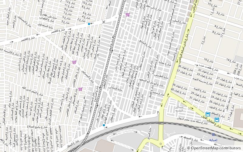
Map

Facts and practical information
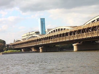
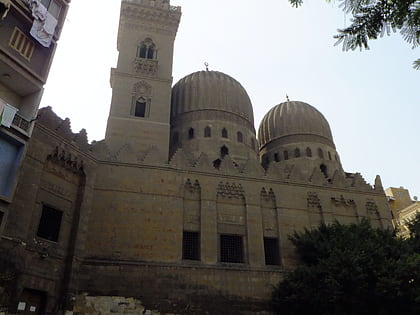
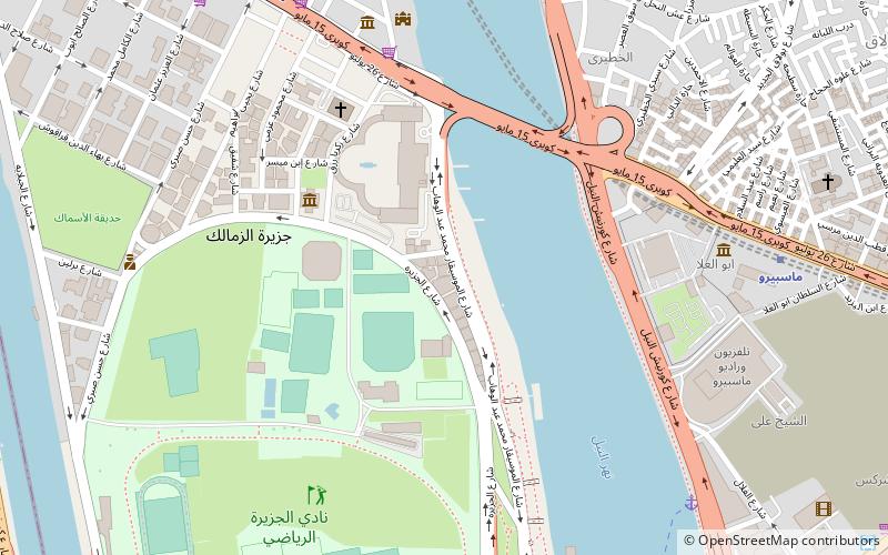
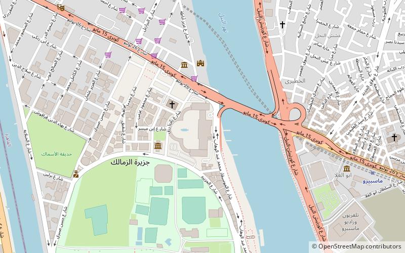
Imbaba is a working-class neighbourhood in northern Giza, Egypt, located west of the Nile and northwest of and near Gezira Island and downtown Cairo, within the Giza Governorate. The district is located in the historic upper Nile Delta, and is part of the Greater Cairo metropolitan area. ()
Address
Cairo
ContactAdd
Social media
Add
Day trips
Imbaba – popular in the area (distance from the attraction)
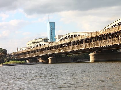
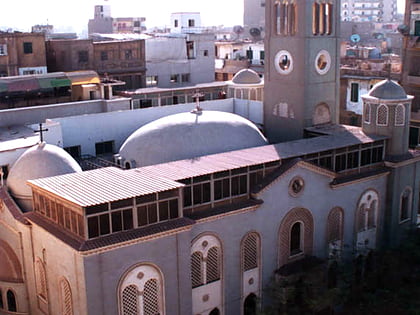
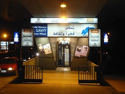
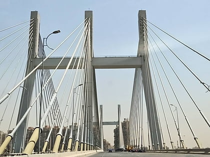
Nearby attractions include: St. Mary Massarra, El-Sawy Cultural Wheel, Rod El Farag Axis Bridge, Imbaba Bridge.
Frequently Asked Questions (FAQ)
How to get to Imbaba by public transport?
The nearest stations to Imbaba:
Train
Train
- Imbaba (12 min walk)
