Saint Therese, Cairo
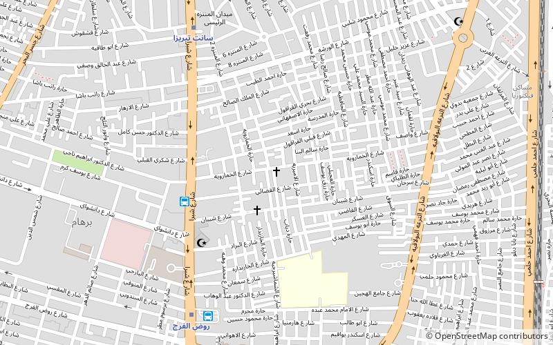
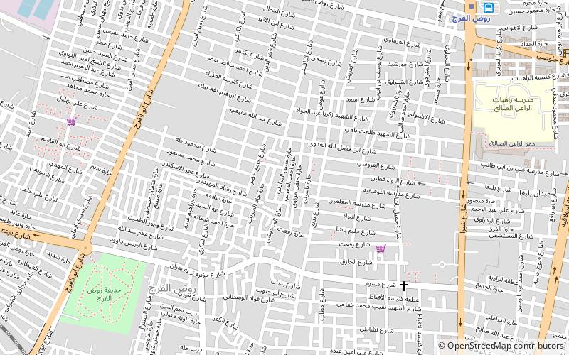
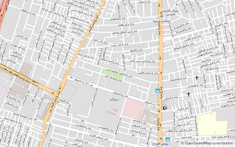
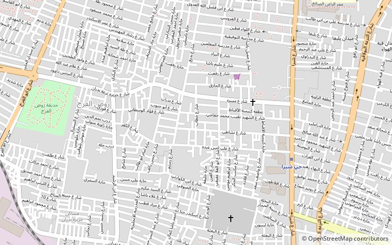
Map
Facts and practical information
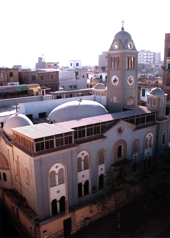
The Basilica of St Therese of the Child Jesus is a Roman Catholic minor basilica in Cairo, Egypt, dedicated to Thérèse of Lisieux. The foundation stone of the church was laid in 1931 and the construction was finished in 1932. The church is under the circumscription of the Apostolic Vicariate of Alexandria of Egypt. It was decreed basilica on July 8, 1972. Saint Therese is well known among both Egyptian Catholics and Copts. Hundreds of votive tablets covering the walls of the crypt testify the granted intercession of the saint. The metro station close to the basilica is named after Saint Theresa. ()
Address
Cairo
ContactAdd
Social media
Add
Getting there by public transportation
Public transportation stops near this location
- Metro
- Bus
- Train
 Metro
Metro
- Calculate routeالخازندارا 5 min walk
- Calculate routeRawd El-Farag 8 min walk
- Calculate routeAl Zawya Al Hamra 34 min walk
- Calculate routeRawd El-Farag 8 min walk
- Calculate routeSainte Teresa 8 min walk
- Calculate routeAl-Khalafawy 24 min walk
- Calculate routeMassara 24 min walk
- Calculate routeAl-Farz Station 31 min walk
Day trips

Frequently Asked Questions (FAQ)
Which popular attractions are close to Saint Therese?
Nearby attractions include El Sahel, Cairo (9 min walk), Rod El Farag, Cairo (20 min walk), St. Mary Massarra, Cairo (21 min walk), Shubra, Cairo (24 min walk).
How to get to Saint Therese by public transport?
The nearest stations to Saint Therese:
Bus
Metro
Train
Bus
- الخازندارا (5 min walk)
- Rawd El-Farag (8 min walk)
Metro
- Rawd El-Farag • Lines: 2 (8 min walk)
- Sainte Teresa • Lines: 2 (8 min walk)
Train
- Al-Farz Station (31 min walk)