Rod El Farag Axis Bridge, Cairo
Gallery (1)
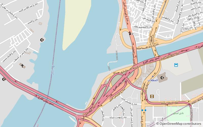
Map
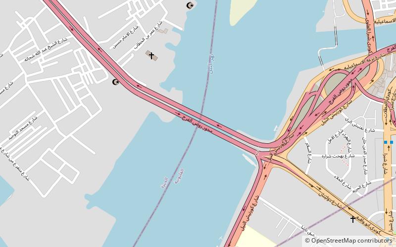
Map
Facts and practical information
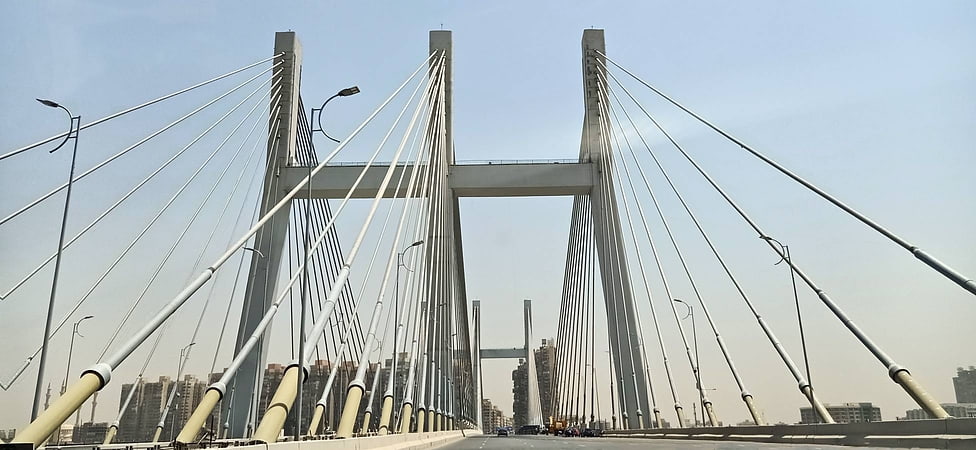
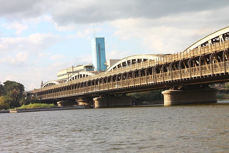
The Rod El Farag Axis Bridge is a cable-stayed bridge over the Nile river located on Rod El Farag crossing Cairo. It was built by the Arab Contractors. With a width of 67.3 meters, the bridge holds the Guinness World Record for the world's widest cable-stayed bridge. ()
Address
Cairo
ContactAdd
Social media
Add
Getting there by public transportation
Public transportation stops near this location
- Metro
- Bus
 Metro
Metro
- Calculate routeAl-Mezallat 15 min walk
- Calculate routeAl-Khalafawy 15 min walk
- Calculate routeKoliet El-Zeraa 27 min walk
- Calculate routeSainte Teresa 28 min walk
- Calculate routeEl Mazallat bus station 18 min walk
- Calculate routeAbbud 29 min walk
Day trips


Frequently Asked Questions (FAQ)
How to get to Rod El Farag Axis Bridge by public transport?
The nearest stations to Rod El Farag Axis Bridge:
Metro
Bus
Metro
- Al-Mezallat • Lines: 2 (15 min walk)
- Al-Khalafawy • Lines: 2 (15 min walk)
Bus
- El Mazallat bus station (18 min walk)
- Abbud (29 min walk)