El Sahel, Cairo
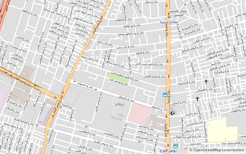
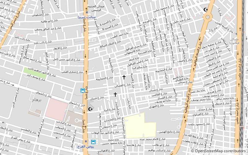
Map
Facts and practical information
Address
Cairo
ContactAdd
Social media
Add
Getting there by public transportation
Public transportation stops near this location
- Metro
- Bus
 Metro
Metro
- Calculate routeالخازندارا 5 min walk
- Calculate routeRawd El-Farag 10 min walk
- Calculate routeSainte Teresa 9 min walk
- Calculate routeRawd El-Farag 9 min walk
- Calculate routeAl-Khalafawy 24 min walk
- Calculate routeMassara 25 min walk
Day trips

Frequently Asked Questions (FAQ)
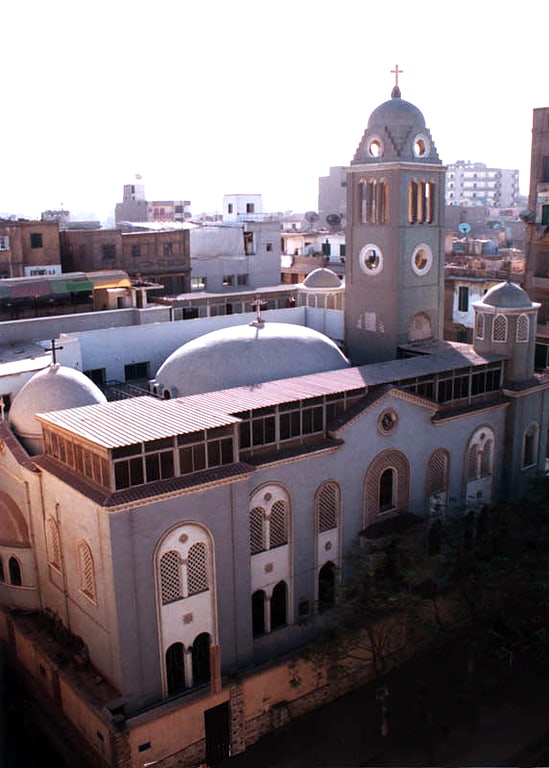
Which popular attractions are close to El Sahel?
Nearby attractions include Saint Therese, Cairo (9 min walk), Rod El Farag, Cairo (16 min walk), St. Mary Massarra, Cairo (21 min walk), Shubra, Cairo (22 min walk).
How to get to El Sahel by public transport?
The nearest stations to El Sahel:
Bus
Metro
Bus
- الخازندارا (5 min walk)
- Rawd El-Farag (10 min walk)
Metro
- Sainte Teresa • Lines: 2 (9 min walk)
- Rawd El-Farag • Lines: 2 (9 min walk)