Rod El Farag, Cairo
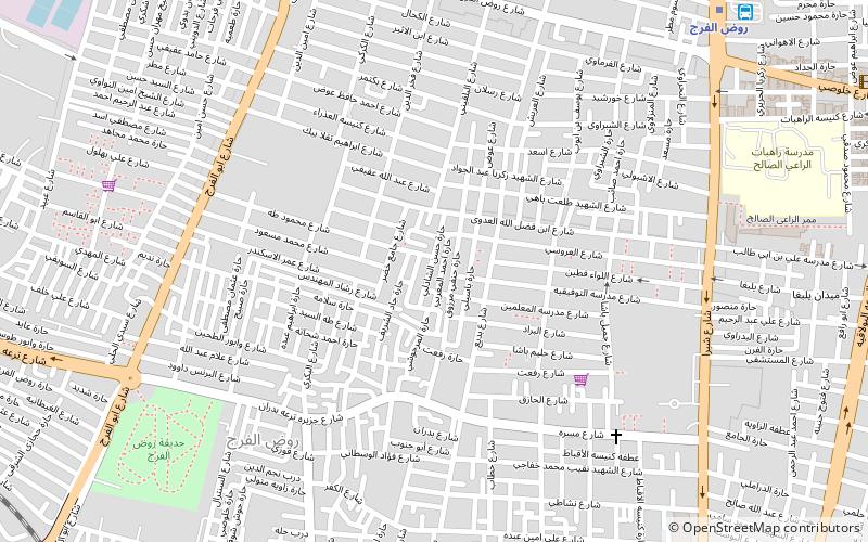
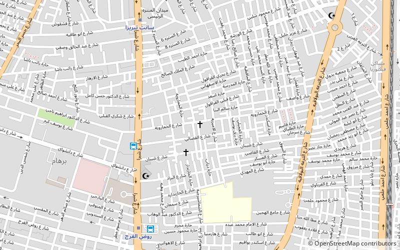
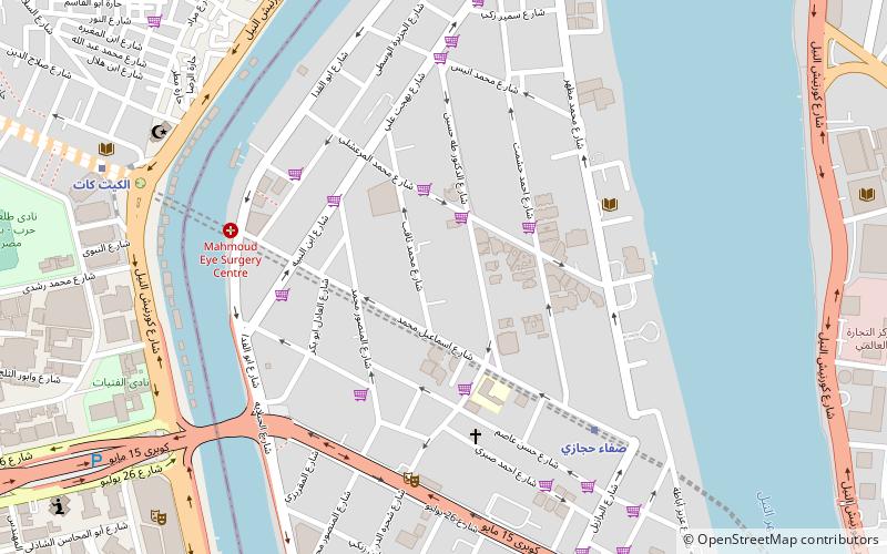
Map
Facts and practical information
Rod El Farag is an administrative region forming about one third of Shobra in Cairo, Egypt. Rod El Farag neighbours the River Nile to the west, Boulaq to the south, Shobra to the east and Elsahel to the north. Rough Guides notes that like neighbouring districts, Rod El Farag is generally overcrowded. ()
Address
كسلان (kslan)Cairo
ContactAdd
Social media
Add
Getting there by public transportation
Public transportation stops near this location
- Metro
- Bus
- Train
 Metro
Metro
- Calculate routeRawd El-Farag 12 min walk
- Calculate routeMassara 13 min walk
- Calculate routeSainte Teresa 24 min walk
- Calculate routeShuhada 28 min walk
- Calculate routeRawd El-Farag 13 min walk
- Calculate routeالخازندارا 16 min walk
- Calculate routeHigh Jet 23 min walk
- Calculate routeAhmed Helmy Bus Station 23 min walk
- Calculate routeRamses Station 25 min walk
Day trips


Frequently Asked Questions (FAQ)
Which popular attractions are close to Rod El Farag?
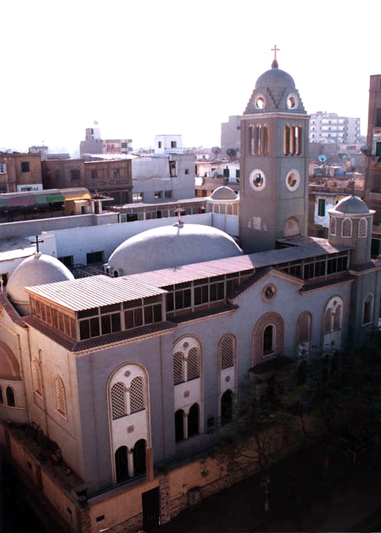
Nearby attractions include Shubra, Cairo (7 min walk), Shubra, Cairo (7 min walk), St. Mary Massarra, Cairo (8 min walk), El Sahel, Cairo (16 min walk).
How to get to Rod El Farag by public transport?
The nearest stations to Rod El Farag:
Metro
Bus
Train
Metro
- Rawd El-Farag • Lines: 2 (12 min walk)
- Massara • Lines: 2 (13 min walk)
Bus
- Rawd El-Farag (13 min walk)
- الخازندارا (16 min walk)
Train
- Ramses Station (25 min walk)