Kafr Abdu, Alexandria
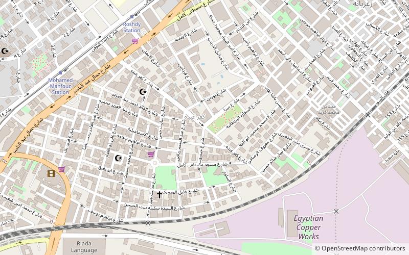
Map
Facts and practical information
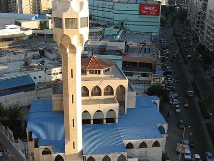
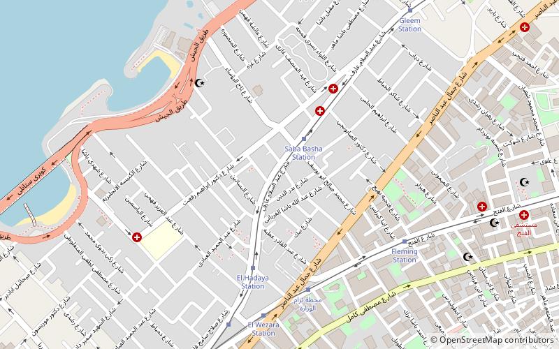
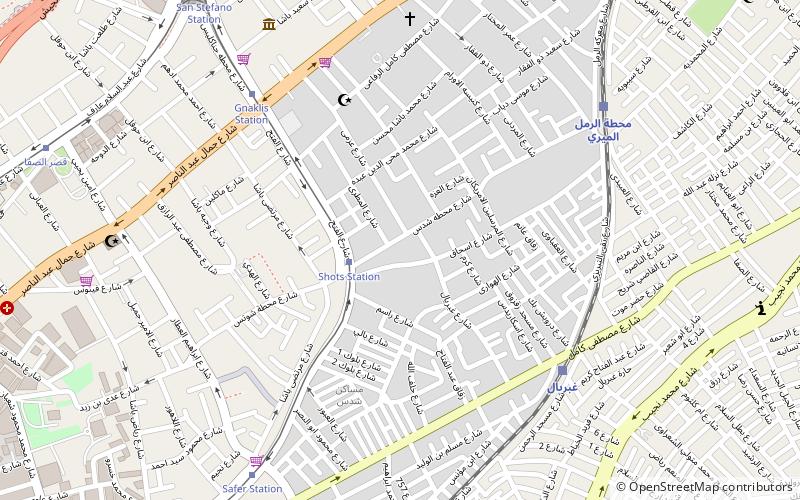
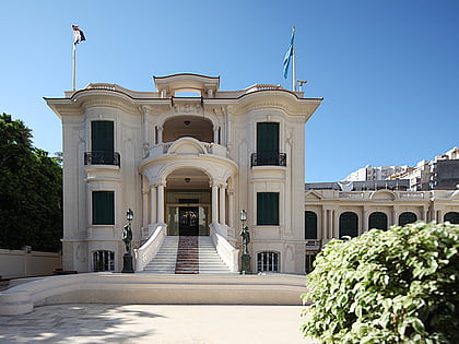
Kafr Abdu is a neighborhood in Alexandria, Egypt. The neighborhood mainly houses wealthy Egyptians, as well as foreigners living in Alexandria. During the Revolution of 2011, the Egyptian Army cordoned the neighborhood off, only allowing residents of the area to enter, to prevent looting, particularly of the vacated apartments of foreigners forced to flee. Kafr Abdu is known for its tree-lined streets and its many cafés. ()
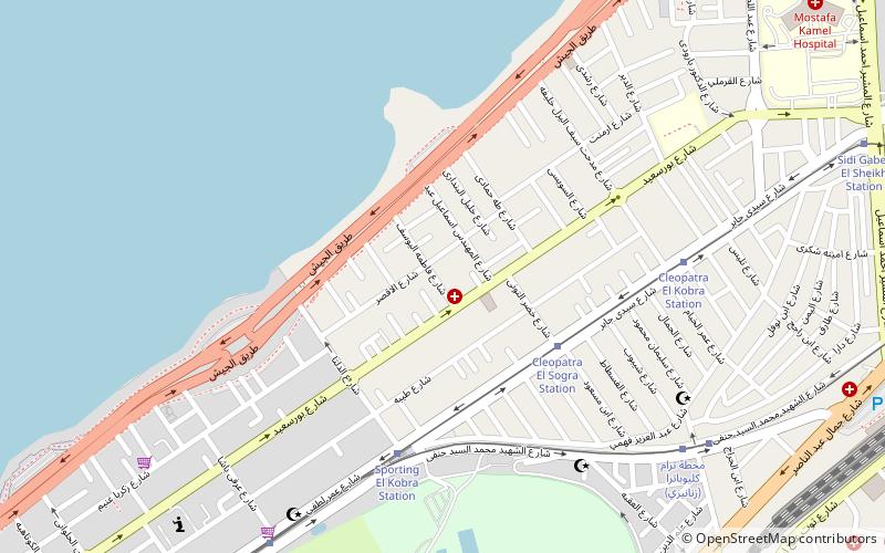
Coordinates: 31°13'30"N, 29°57'17"E
Address
Alexandria
ContactAdd
Social media
Add
Day trips
Kafr Abdu – popular in the area (distance from the attraction)
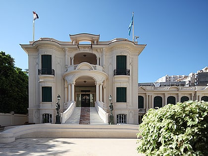
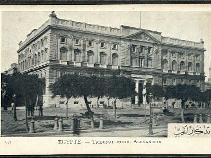
Nearby attractions include: Royal Jewelry Museum, Eliahou Hazan Synagogue, El-Hakaneia Palace, Smouha.
Frequently Asked Questions (FAQ)
Which popular attractions are close to Kafr Abdu?
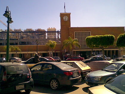
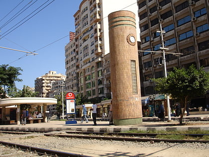
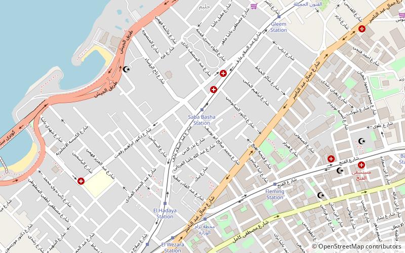
Nearby attractions include Bolkly, Alexandria (15 min walk), Fleming, Alexandria (19 min walk), Saba Pasha, Alexandria (20 min walk), Smouha, Alexandria (21 min walk).
How to get to Kafr Abdu by public transport?
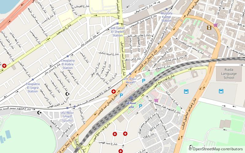
The nearest stations to Kafr Abdu:
Tram
Train
Tram
- Roshdy Station (9 min walk)
- Mohamed Mahfouz Station (10 min walk)
Train
- Al Zahria Station (18 min walk)
- Sidi Gaber (21 min walk)
