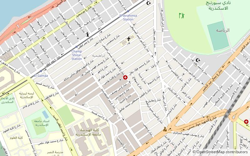
El Ibrahimiya, Alexandria
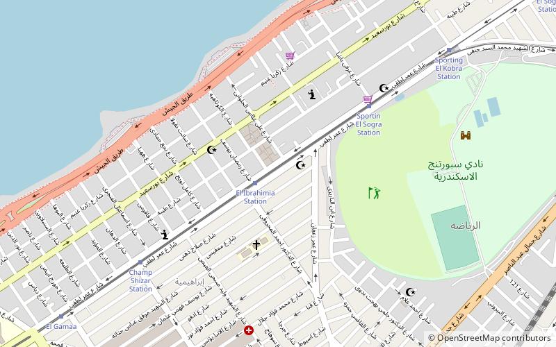
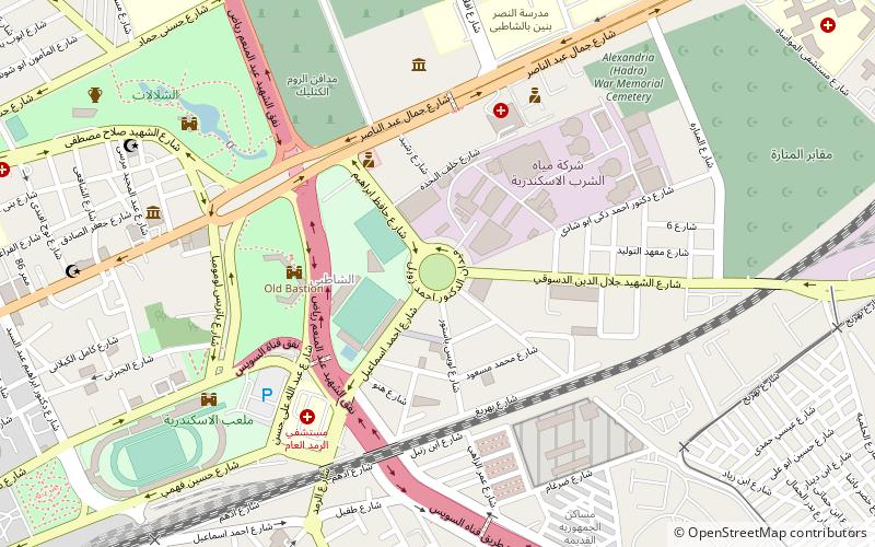
Map
Facts and practical information
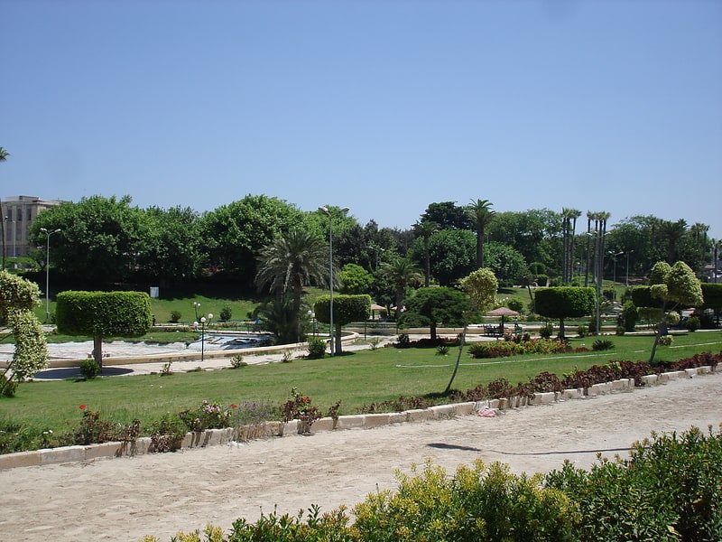
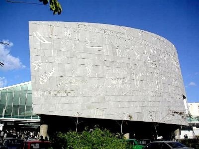
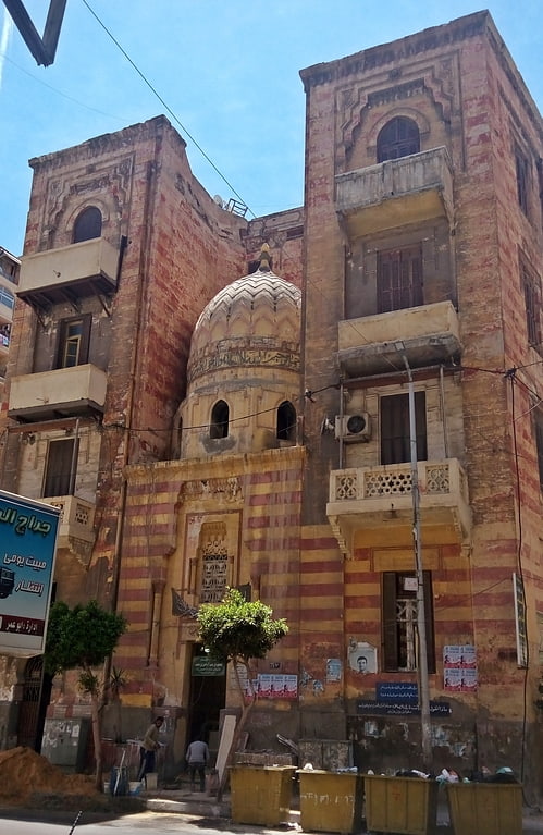
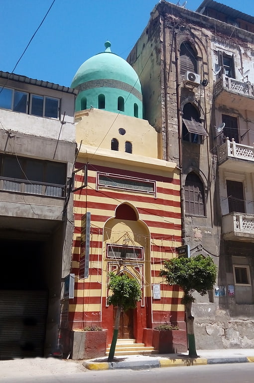
El Ibrahimiya is a neighborhood in Alexandria, Egypt. ()
Address
Alexandria
ContactAdd
Social media
Add
Getting there by public transportation
Public transportation stops near this location
- Tram
- Train
 Tram
Tram
- Calculate routeAl Ibrahimia Station 2 min walk
- Calculate routeSportin El Sogra Station 6 min walk
- Calculate routeChamp Shizar Station 8 min walk
- Calculate routeEl Reyada El Kobra 10 min walk
- Calculate routeAl-Hadra 20 min walk
- Calculate routeSidi Gaber 24 min walk
Day trips


Frequently Asked Questions (FAQ)
Which popular attractions are close to El Ibrahimiya?
Nearby attractions include St. Takla Haymanot's Church, Alexandria (8 min walk), Sporting, Alexandria (9 min walk), Faculty of Engineering, Alexandria (15 min walk), Eliahou Hazan Synagogue, Alexandria (15 min walk).
How to get to El Ibrahimiya by public transport?
The nearest stations to El Ibrahimiya:
Tram
Train
Tram
- Al Ibrahimia Station (2 min walk)
- Sportin El Sogra Station (6 min walk)
Train
- Al-Hadra (20 min walk)
- Sidi Gaber (24 min walk)