Trek Zone

Fort Carra, Mercantour National Park

#18 among attractions in Mercantour National Park

Nature, Mountain
Fort Carra

Facts and practical information

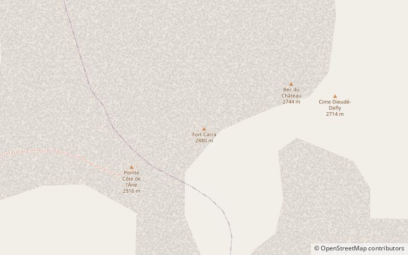
Fort Carra is a summit of the Alpes-Maritimes, in the high valley of the Tinée, singular by its shape reminding that of a military fort. It is part of a group of summits bordering the Gialorgues valley, between Saint-Dalmas-le-Selvage and Estenc, including the Kerbrat-Metge ridge, the Côte de l'Âne point, the Bec du Château and the Dieudé-Defly summit. Fort Carra is by far the most recognizable by its summit rocky bar.

Coordinates: 44°14'44"N, 6°48'27"E
Address

Mercantour National Park France

ContactAdd
Social media
Add

Mercantour National Park plan & book

Unleash the traveler in you — discover the cheapest flight deals, find the perfect hotel or hostel nearby, and search for the best car rental prices. Travel at your own pace to discover new places and enjoy your journey.

Day trips

Fort Carra – popular in the area (distance from the attraction)

Nearby attractions include: Lac d'Allos, Cime de la Bonette, Mont Pelat, Cimet.

  • lac dallos mercantour national park5 miW
  • cime de la bonette mercantour national park5.2 miN
  • mont pelat mercantour national park5.2 miW
  • cimet mercantour national park6 miNW
  • eglise saint dalmas3.9 miNE
  • col des champs7 miSW
  • col de la cayolle mercantour national park3.3 miW
  • saint sebastien chapel entraunes4.9 miSW
  • pointe cote de lane mercantour national park~910 ftSW

Where to next? Visit provence alpes cote dazur Provence-Alpes-Côte d'Azur region page or discover the top tourist attractions in France.