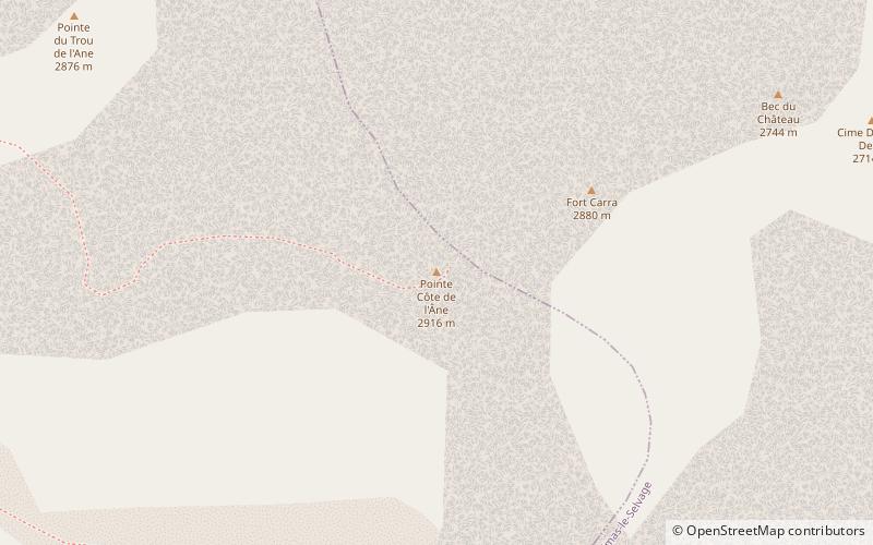
Pointe Côte de l'Âne, Mercantour National Park
Map

Map

Facts and practical information
The Pointe de la Côte de l'Âne is a peak culminating at 2 916 meters of altitude and is part of the Alpine sector of the Alpes-Maritimes. This peak is located in the northwest of the Alpes-Maritimes department, bordering the communes of Entraunes to the southwest and Saint-Dalmas-le-Selvage to the northeast.
Coordinates: 44°14'40"N, 6°48'16"E
Address
Mercantour National Park
ContactAdd
Social media
Add
Day trips
Pointe Côte de l'Âne – popular in the area (distance from the attraction)
Nearby attractions include: Lac d'Allos, Cime de la Bonette, Mont Pelat, Cimet.


