Cime de la Bonette, Mercantour National Park

Gallery (1)
Map
Map
Facts and practical information
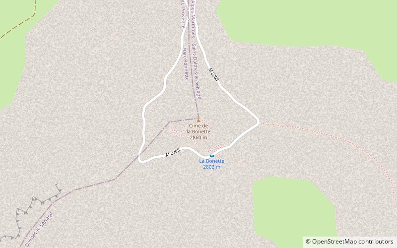
Cime de la Bonette is a mountain in the French Alps, near the border with Italy. It is situated within the Mercantour National Park on the border of the departments of Alpes-Maritimes and Alpes-de-Haute-Provence, between the Ubaye Valley and the valley of the Tinée River. ()
Address
Mercantour National Park
ContactAdd
Social media
Add
Day trips


