Cimet, Mercantour National Park
#8 among attractions in Mercantour National Park


Facts and practical information
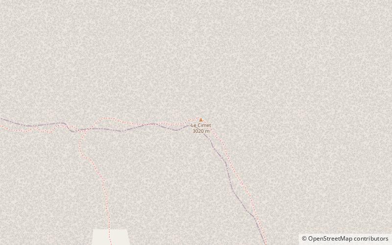
Mount Cimet or Cemet is a mountain in the Pelat Massif of the French Alps in Alpes-de-Haute-Provence. ()
Cimet – popular in the area (distance from the attraction)
Nearby attractions include: Pra-Loup, Lac d'Allos, Cime de la Bonette, Ouvrage Restefond.
 Large ski resort with lodging and dining
Pra-Loup
188 min walk • Nestled in the heart of the Southern French Alps, Pra-Loup is a dynamic ski area known for its expansive and diverse terrain that caters to winter sports enthusiasts of all levels. Established in the 1960s and situated in the Ubaye Valley, this resort has since become...
 Natural attraction, Nature, Lake
Lac d'Allos, Mercantour National Park
100 min walk • Lac d'Allos is an alpine lake at a height of 2,230 m. It is located in Parc National du Mercantour, departement Alpes-de-Haute-Provence the region Provence-Alpes-Côte d'Azur, France.
 Natural attraction, Nature, Mountain
Cime de la Bonette, Mercantour National Park
141 min walk • Cime de la Bonette is a mountain in the French Alps, near the border with Italy. It is situated within the Mercantour National Park on the border of the departments of Alpes-Maritimes and Alpes-de-Haute-Provence, between the Ubaye Valley and the valley of the Tinée River.
 Museum
Ouvrage Restefond, Mercantour National Park
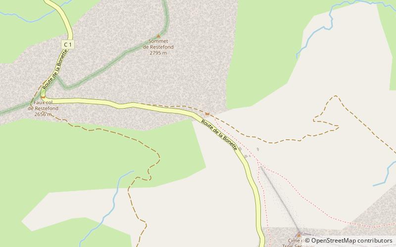
150 min walk • Ouvrage Restefond is a work of the Maginot Line's Alpine extension, the Alpine Line. The ouvrage consists of one artillery block and three observation blocks at the summit of the Col de la Bonette.
 Natural attraction, Nature, Mountain
Mont Pelat, Mercantour National Park
45 min walk • Mont Pelat, is a mountain of the Maritime Alps located in the chain of mountains between the high valley of Verdon to the west, the high valley of Var to the east and the Bachelard valley in the North.
 Locality
Allos
125 min walk • Allos is a commune in the Alpes-de-Haute-Provence department in the Provence-Alpes-Côte d'Azur region of southeastern France. Allos is a high mountain commune in the southern Alps.
 Mountain pass, Nature
Col de la Cayolle, Mercantour National Park
75 min walk • Col de la Cayolle is a high mountain pass in the French Alps at the border between the departments of Alpes-Maritimes and Alpes-de-Haute-Provence in France. It connects Barcelonnette in the Ubaye Valley and Saint-Martin-d'Entraunes. It lies parallel to the Col d'Allos and Col de la Bonette in the Parc National du Mercantour.
 Locality
Enchastrayes
141 min walk • Enchastrayes is a commune in the Alpes-de-Haute-Provence department in southeastern France. The Enciastraia mountain is located in the communal territory, on the boundary with Piedmont, part of northern Italy.
 Mountain pass, Nature
Col de Restefond, Mercantour National Park
154 min walk • Col de Restefond is a high mountain pass in the French Alps, near the border with Italy. It is situated on the flanks of le Restefonde within the Mercantour National Park in the department of Alpes-de-Haute-Provence.
 Locality
Uvernet-Fours
170 min walk • Uvernet-Fours is a commune in the Alpes-de-Haute-Provence department, southeastern France.
 Nature, Mountain
Pointe Côte de l'Âne, Mercantour National Park
151 min walk • The Pointe de la Côte de l'Âne is a peak culminating at 2 916 meters of altitude and is part of the Alpine sector of the Alpes-Maritimes. This peak is located in the northwest of the Alpes-Maritimes department, bordering the communes of Entraunes...
