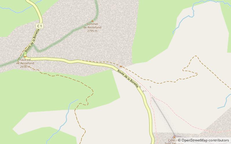
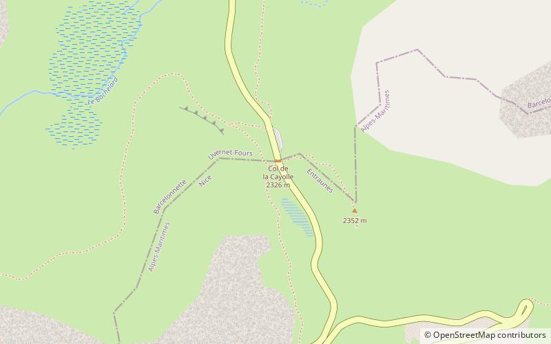
Col de la Cayolle, Mercantour National Park
#11 among attractions in Mercantour National Park
Facts and practical information
Col de la Cayolle is a high mountain pass in the French Alps at the border between the departments of Alpes-Maritimes and Alpes-de-Haute-Provence in France. ()
Mercantour National Park France
Mercantour National Park plan & book
Unleash the traveler in you — discover the cheapest flight deals, find the perfect hotel or hostel nearby, and search for the best car rental prices. Travel at your own pace to discover new places and enjoy your journey.
Col de la Cayolle – popular in the area (distance from the attraction)
Nearby attractions include: Lac d'Allos, Cime de la Bonette, Ouvrage Restefond, Mont Pelat.
- 2.5 miSWNatural attraction, Nature, Lake
Lac d'Allos, Mercantour National Park
64 min walk • Lac d'Allos is an alpine lake at a height of 2,230 m. It is located in Parc National du Mercantour, departement Alpes-de-Haute-Provence the region Provence-Alpes-Côte d'Azur, France.
- 5.3 miNENatural attraction, Nature, Mountain
Cime de la Bonette, Mercantour National Park
136 min walk • Cime de la Bonette is a mountain in the French Alps, near the border with Italy. It is situated within the Mercantour National Park on the border of the departments of Alpes-Maritimes and Alpes-de-Haute-Provence, between the Ubaye Valley and the valley of the Tinée River.
- 5.9 miNEMuseum
Ouvrage Restefond, Mercantour National Park
150 min walk • Ouvrage Restefond is a work of the Maginot Line's Alpine extension, the Alpine Line. The ouvrage consists of one artillery block and three observation blocks at the summit of the Col de la Bonette.
- 1.9 miWNatural attraction, Nature, Mountain
Mont Pelat, Mercantour National Park
50 min walk • Mont Pelat, is a mountain of the Maritime Alps located in the chain of mountains between the high valley of Verdon to the west, the high valley of Var to the east and the Bachelard valley in the North.
- 2.9 miNWNatural attraction, Nature, Mountain
Cimet, Mercantour National Park
75 min walk • Mount Cimet or Cemet is a mountain in the Pelat Massif of the French Alps in Alpes-de-Haute-Provence.
- 6 miSNature, Natural attraction, Mountain pass
Col des Champs
152 min walk • Col des Champs is a high mountain pass in the Alps at the border between the departments of Alpes-de-Haute-Provence and Alpes-Maritimes in France. It connects Saint-Martin-d'Entraunes and Colmars, joining the valleys of the Var River and the Verdon River.
- 4.8 miSChurch
Saint-Sébastien Chapel, Entraunes
123 min walk • The Saint-Sébastien chapel is a Catholic chapel located in France in the commune of Entraunes, in the Alpes-Maritimes department in the Provence-Alpes-Côte d'Azur region.
- 6.2 miNEMountain pass, Nature
Col de Restefond, Mercantour National Park
158 min walk • Col de Restefond is a high mountain pass in the French Alps, near the border with Italy. It is situated on the flanks of le Restefonde within the Mercantour National Park in the department of Alpes-de-Haute-Provence.
- 3.2 miENature, Mountain
Pointe Côte de l'Âne, Mercantour National Park
81 min walk • The Pointe de la Côte de l'Âne is a peak culminating at 2 916 meters of altitude and is part of the Alpine sector of the Alpes-Maritimes. This peak is located in the northwest of the Alpes-Maritimes department, bordering the communes of Entraunes...
- 3.3 miENature, Mountain
Fort Carra, Mercantour National Park
84 min walk • Fort Carra is a summit of the Alpes-Maritimes, in the high valley of the Tinée, singular by its shape reminding that of a military fort. It is part of a group of summits bordering the Gialorgues valley, between Saint-Dalmas-le-Selvage and Estenc...