Blockhaus de Pelousette, Mercantour National Park
Map

Map

Facts and practical information
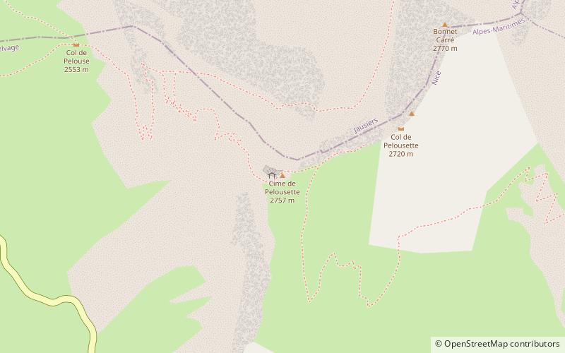
The Cime de Pelousette strongpoint was an infantry position in the fortified sector of Dauphiné. It is in fact the former Pelousette position of the Séré de Rivières System that was integrated into the Dauphiné fortified sector before World War II.
Coordinates: 44°20'35"N, 6°51'21"E
Address
Mercantour National Park
ContactAdd
Social media
Add
Day trips
Blockhaus de Pelousette – popular in the area (distance from the attraction)
Nearby attractions include: Cime de la Bonette, Ouvrage Restefond, Lacs de Morgon, Lakes of Vens.


