Rocca dei Tre Vescovi
#1107 among destinations in France


Facts and practical information
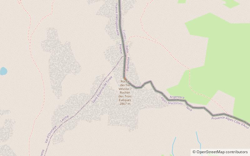
Rocca dei Tre Vescovi is a mountain in the Maritime Alps, on the boundary between the province of Cuneo and the French region of Provence-Alpes-Côte-d'Azur. ()
Provence-Alpes-Côte d'AzurFrance
Rocca dei Tre Vescovi – popular in the area (distance from the attraction)
Nearby attractions include: Cime de la Bonette, Ouvrage Restefond, Lacs de Morgon, Lakes of Vens.
 Natural attraction, Nature, Mountain
Cime de la Bonette, Mercantour National Park
124 min walk • Cime de la Bonette is a mountain in the French Alps, near the border with Italy. It is situated within the Mercantour National Park on the border of the departments of Alpes-Maritimes and Alpes-de-Haute-Provence, between the Ubaye Valley and the valley of the Tinée River.
 Museum
Ouvrage Restefond, Mercantour National Park
114 min walk • Ouvrage Restefond is a work of the Maginot Line's Alpine extension, the Alpine Line. The ouvrage consists of one artillery block and three observation blocks at the summit of the Col de la Bonette.
 Natural attraction, Nature, Lake
Lacs de Morgon, Mercantour National Park
54 min walk • The lakes of Morgon are a group of lakes in the Tinée valley, Alpes-Maritimes, Alps, France. The first lake is the Big Lake of Morgon at an elevation of 2427 m. The other major lakes are the Median Lake and the Higher Lake.
 Lake
LakeLakes of Vens, Mercantour National Park
106 min walk • The lakes of Vens are located in the massif of the Mercantour, between the elevations of 2,325 m and 2,278 m, in the township of Saint-Étienne-de-Tinée, in the department of the Alpes-Maritimes.
 Nature, Natural attraction, Lake
Lac du Lauzanier
36 min walk • Lac du Lauzanier is a lake in Alpes-de-Haute-Provence, France.
 Nature, Natural attraction, Mountain
Enciastraia
10 min walk • Enciastraia is a mountain in the Maritime Alps, on the boundary between the province of Cuneo and the French region of Provence-Alpes-Côte-d'Azur.
 Natural attraction, Nature, Lake
Lacs Les Laussets, Mercantour National Park
54 min walk • The lakes Les Laussets are a group of three lakes in the Tinée valley, Alpes-Maritimes, Alps, France. They are located at an elevation of 2400 m, south-east to the Crête des Terres Rouges, and close to the Tête des Mourres.
 Church
Église Saint-Dalmas
140 min walk • The parish church of Saint-Dalmas is a church located in France in the commune of Saint-Dalmas-le-Selvage, in the Alpes-Maritimes department in the Provence-Alpes-Côte d'Azur region.
 Natural attraction, Nature, Mountain
Mont Ténibre, Mercantour National Park
174 min walk • Monte Tenibres - a peak in the coastal Alps, parts of the Western Alps. It lies on the border between Italy and France. The peak can be conquered from shelters: Rifugio Zanotti or Rifugio Rabuons.
 Ruins
RuinsBlockhaus de Pelousette, Mercantour National Park
52 min walk • The Cime de Pelousette strongpoint was an infantry position in the fortified sector of Dauphiné. It is in fact the former Pelousette position of the Séré de Rivières System that was integrated into the Dauphiné fortified sector before World War II.
 Mountain pass, Nature
Col de Restefond, Mercantour National Park
110 min walk • Col de Restefond is a high mountain pass in the French Alps, near the border with Italy. It is situated on the flanks of le Restefonde within the Mercantour National Park in the department of Alpes-de-Haute-Provence.
