Enciastraia

Gallery (1)
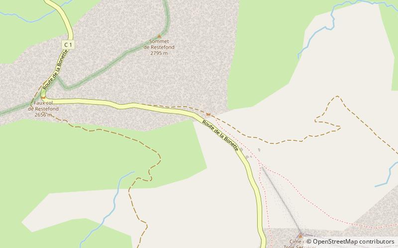
Map
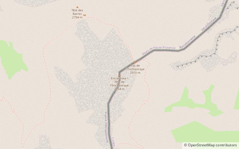
Map
Facts and practical information
Enciastraia is a mountain in the Maritime Alps, on the boundary between the province of Cuneo and the French region of Provence-Alpes-Côte-d'Azur. ()
Local name: Tête de l'Enchastraye Elevation: 9695 ftProminence: 1043 ftCoordinates: 44°22'1"N, 6°53'16"E
Location
Provence-Alpes-Côte d'Azur
ContactAdd
Social media
Add
Day trips