Porte de la Rade, Hyères
Map

Map

Facts and practical information
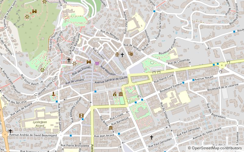
The Porte de la Rade, or Porte Massillon, is a gate of the city of Hyères, in the Var department, France. Built in the 12th century and the first quarter of the 13th century, it is listed as a historical monument since January 27, 1926. It is the property of a private person.
It is located on the western part of Place Clemenceau and on the southern part of Place de la République.
Coordinates: 43°7'15"N, 6°7'51"E
Address
Hyères
ContactAdd
Social media
Add
Day trips
Porte de la Rade – popular in the area (distance from the attraction)
Nearby attractions include: Parc Olbius Riquier, Complexe Aquatique, Villa Noailles, Castel Sainte-Claire.
Frequently Asked Questions (FAQ)
Which popular attractions are close to Porte de la Rade?
Nearby attractions include St. Louis Church, Hyères (2 min walk), Tour des Templiers, Hyères (4 min walk), Église Saint-Paul d'Hyères, Hyères (6 min walk), Castel Sainte-Claire, Hyères (8 min walk).
How to get to Porte de la Rade by public transport?
The nearest stations to Porte de la Rade:
Bus
Bus
- Hyères Centre • Lines: 39, 63, 66, 67, 7801, 7802, 8803, Ab61 (3 min walk)
- Jean Jaurès • Lines: 103, 17, 39 (3 min walk)


