City Hall, Delhi
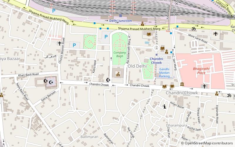
Map
Gallery
Facts and practical information
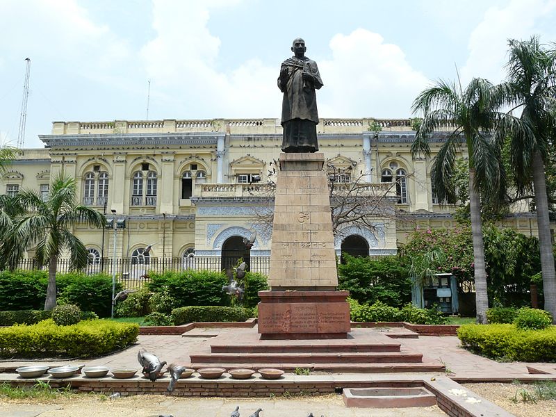
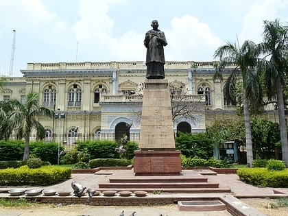
The Delhi Town Hall is a landmark building, at Chandni Chowk in Old Delhi. It was the seat of the Municipal Corporation of Delhi from 1866 during the British Raj till late 2009, when offices shifted to the new MCD Civic Centre on Minto Road in Central Delhi formally inaugurated in 2010. ()
Coordinates: 28°39'26"N, 77°13'39"E
Day trips
City Hall – popular in the area (distance from the attraction)
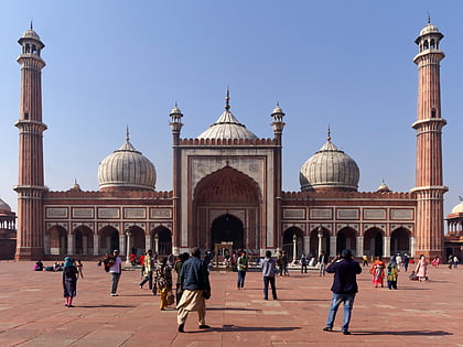
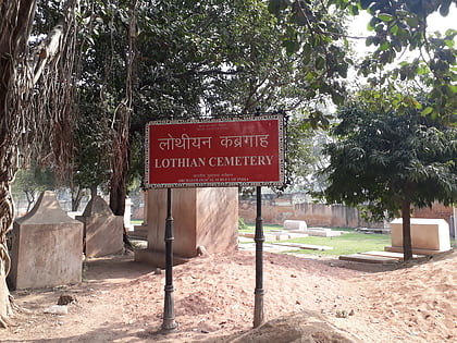
Nearby attractions include: Jama Masjid, Red Fort, Chandni Chowk, Lothian Cemetery.
Frequently Asked Questions (FAQ)
Which popular attractions are close to City Hall?
Nearby attractions include Gali Paranthe Wali, Delhi (5 min walk), Delhi Public Library, Delhi (6 min walk), Sunehri Masjid, Delhi (8 min walk), St. Stephen's Church, Delhi (8 min walk).
How to get to City Hall by public transport?
The nearest stations to City Hall:
Metro
Train
Bus
Metro
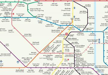
- Chandni Chowk • Lines: Yellow Line (5 min walk)
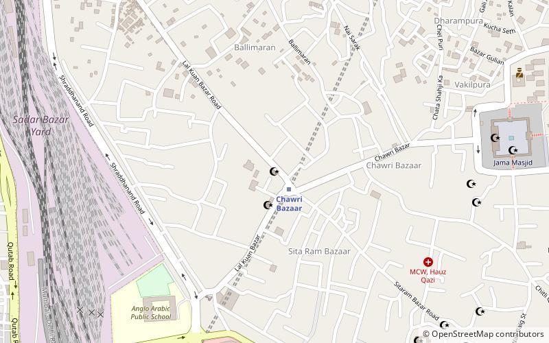
- Chawri Bazaar • Lines: Yellow Line (15 min walk)
Train
- Delhi Junction (7 min walk)
- Sadar Bazar (17 min walk)
Bus
- Old Delhi Railway Station • Lines: 405, 425, 502 (9 min walk)
- Gpo • Lines: 118Ext, 148, 347, 348 (15 min walk)
 Metro
Metro