Jawahar Circle, Jaipur
Map
Map

Facts and practical information
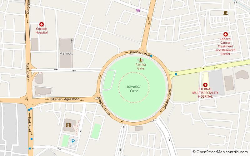
The Jawahar Circle is a garden traffic circle and heavily trafficked intersection in the city of Jaipur, India built by the Jaipur Development Authority. ()
Elevation: 1289 ft a.s.l.Coordinates: 26°50'25"N, 75°48'1"E
Address
Jaipur
ContactAdd
Social media
Add
Day trips
Jawahar Circle – popular in the area (distance from the attraction)
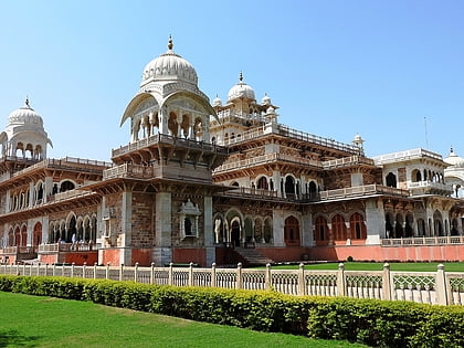
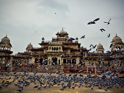
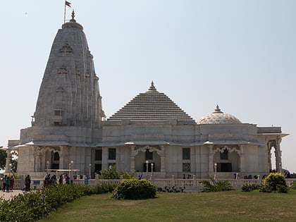
Nearby attractions include: Albert Hall Museum, Ram Niwas Garden, World Trade Park, Birla Mandir.
Frequently Asked Questions (FAQ)
How to get to Jawahar Circle by public transport?
The nearest stations to Jawahar Circle:
Bus
Train
Bus
- Jawahar Circle • Lines: 6A (5 min walk)
- B2 Bypass Circle • Lines: 3, 3A, 3B, 3C (11 min walk)
Train
- Durgapura (34 min walk)

