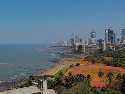
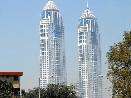
Altamount Road, Mumbai
Map
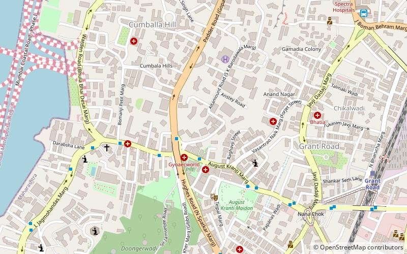
Map

Facts and practical information
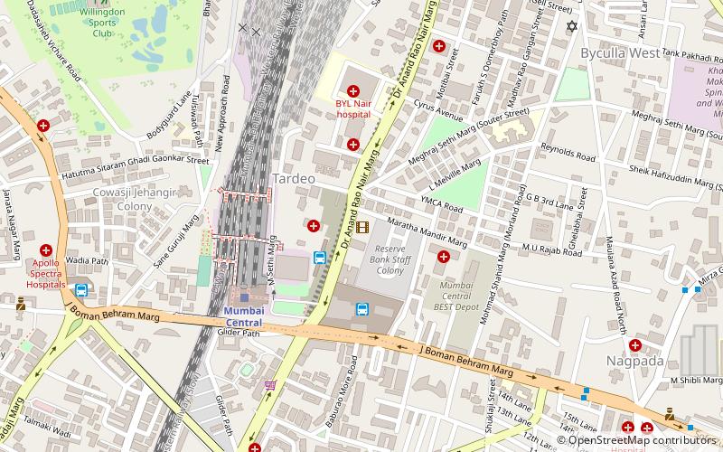
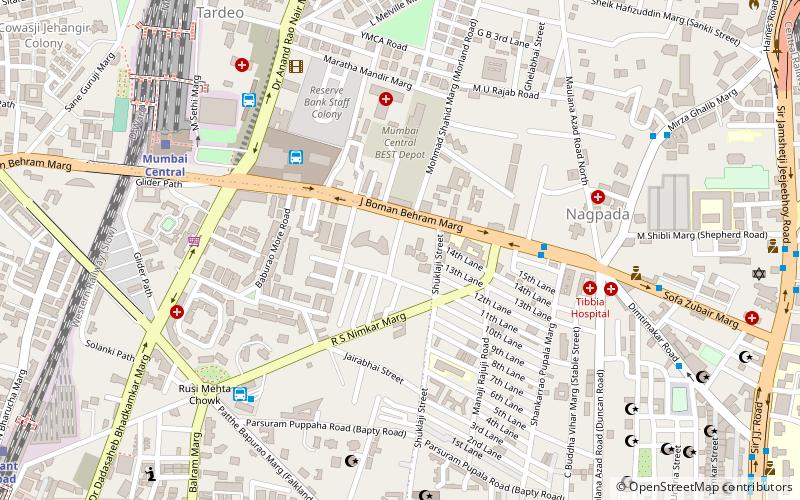
Altamount Road, also known as India's Billionaires’ Row, is an affluent neighbourhood in Mumbai. The area is notable for some of the most expensive residences in the world consisting of ultra-luxurious residential skyscrapers, constructed or in development. It is the most expensive street in India and 10th most expensive in the world, with a going rate of ₹90,000/sq feet. ()
Coordinates: 18°57'55"N, 72°48'31"E
Address
Girgaum (Tardeo)Mumbai
ContactAdd
Social media
Add
Day trips
Altamount Road – popular in the area (distance from the attraction)
Nearby attractions include: Haji Ali Dargah, Hanging Gardens of Mumbai, Maratha Mandir, Kamala Nehru Park.
Frequently Asked Questions (FAQ)
Which popular attractions are close to Altamount Road?
Nearby attractions include Babulnath Temple, Mumbai (3 min walk), Kemps Corner, Mumbai (4 min walk), Gowalia Tank, Mumbai (6 min walk), Cumbala Hill, Mumbai (6 min walk).
How to get to Altamount Road by public transport?
The nearest stations to Altamount Road:
Train
Bus
Train
- Grant Road (13 min walk)
- Mumbai Central (20 min walk)
Bus
- Vasantrao Naik Chowk Tardeo Bus Station (14 min walk)
- Tardeo (21 min walk)


