Kamala Nehru Park, Mumbai


Facts and practical information
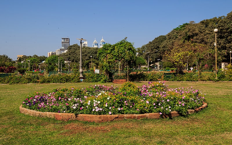
Kamala Nehru Park stands as a verdant oasis amid the bustling cityscape of Mumbai, India. Perched on the slopes of the Malabar Hill, this park, named after the wife of India's first Prime Minister, Jawaharlal Nehru, is a serene retreat for city dwellers and tourists alike.
The park spans an area of 4,000 square meters and offers a tranquil escape with its well-manicured lawns, vibrant flower beds, and shady trees. It was established in 1952 and has since been a favorite recreational spot for families and nature enthusiasts. The park's main attraction is an old woman's shoe-shaped structure, inspired by the nursery rhyme "There was an Old Woman Who Lived in a Shoe," which is particularly popular among children.
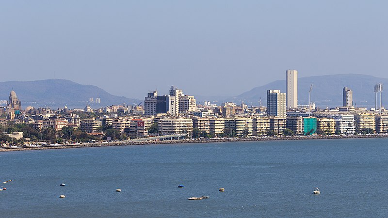
Visitors to Kamala Nehru Park can enjoy panoramic views of South Mumbai, including the Chowpatty Beach and the Queen’s Necklace, a streetlight-lined promenade along Marine Drive that resembles a string of pearls at night. The park's elevated location makes it an ideal vantage point for taking in the city's skyline and the Arabian Sea.
Kamala Nehru Park is not just a place for leisure but also serves as a green lung for the city, contributing to the conservation of biodiversity and providing a habitat for various bird species. It is a perfect spot for morning walks, yoga sessions, or simply sitting back to relish the calmness away from the urban rush.
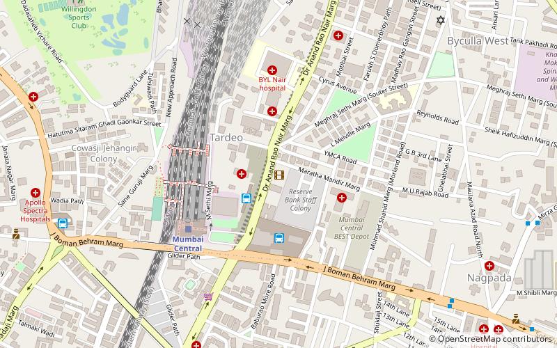
B G Kher RoadGirgaum (Malabar Hill)Mumbai 400 026
- Bus
- Train
 Bus
Bus
- Calculate routeCharni Road 23 min walk
- Calculate routeGrant Road 24 min walk
- Calculate routeMumbai Central 36 min walk
- Calculate routeVasantrao Naik Chowk Tardeo Bus Station 32 min walk
- Calculate routeTardeo 32 min walk
- Calculate routeMumbai Central Bus Station 39 min walk
- Calculate routeBus Agencies 39 min walk


Frequently Asked Questions (FAQ)
Which popular attractions are close to Kamala Nehru Park?
How to get to Kamala Nehru Park by public transport?
Train
- Charni Road (23 min walk)
- Grant Road (24 min walk)
Bus
- Vasantrao Naik Chowk Tardeo Bus Station (32 min walk)
- Tardeo (32 min walk)