Sion Hillock Fort, Mumbai
Map
Gallery

Facts and practical information
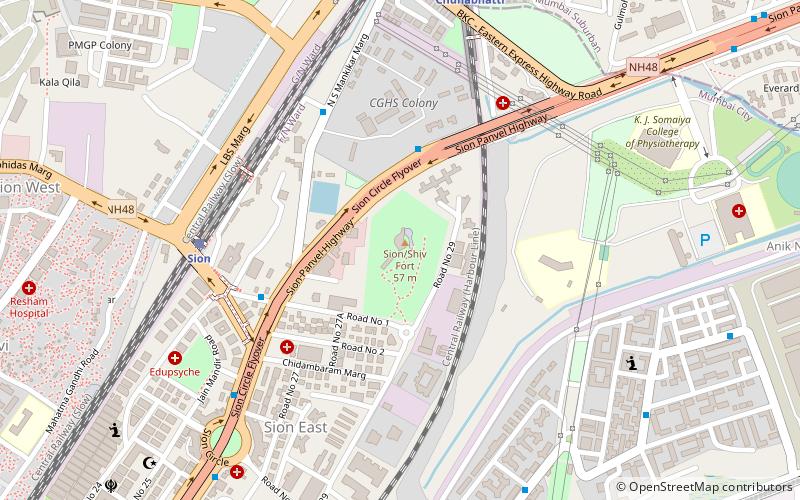
The Sion Hillock Fort is a fort in Mumbai, India. It was built under the regime of the English East India Company, between 1669 and 1677, atop a conical hillock when Gerard Aungier was the Governor of Bombay. It was notified in 1925 as a Grade I Heritage structure. When it was built, the fort marked the boundary between British-held Parel island and the Portuguese held Salsette Island that lay to the north across the creek. ()
Local name: सायन हिल्लक फोर्टCoordinates: 19°2'47"N, 72°52'3"E
Address
Sion East, Air Force Quarters, SionMatunga (Matunga West)Mumbai
Contact
Social media
Add
Day trips
Sion Hillock Fort – popular in the area (distance from the attraction)
Nearby attractions include: Godrej BKC, Church of Our Lady of Good Counsel & Shrine of St. Anthony, Dharavi, Maharashtra Nature Park Society.
Frequently Asked Questions (FAQ)
Which popular attractions are close to Sion Hillock Fort?
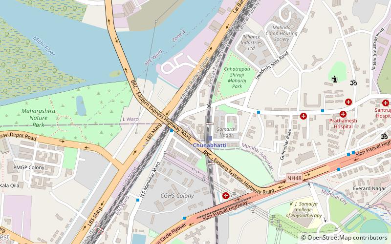
Nearby attractions include Church of Our Lady of Good Counsel & Shrine of St. Anthony, Mumbai (7 min walk), Godrej BKC, Mumbai (11 min walk), Maharashtra Nature Park Society, Mumbai (14 min walk), Dharavi, Mumbai (16 min walk).
How to get to Sion Hillock Fort by public transport?
The nearest stations to Sion Hillock Fort:
Train
Bus
Train
- Sion (8 min walk)
- Chunabhatti (10 min walk)
Bus
- Chuna Bhatti (10 min walk)
- Inter State Bus Terminal-ISBT (20 min walk)

