Dharavi, Mumbai
Map
Gallery
Facts and practical information
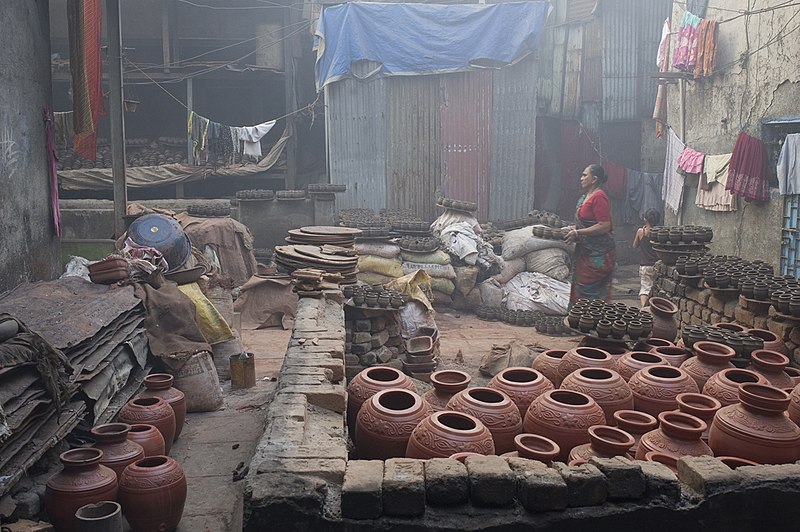
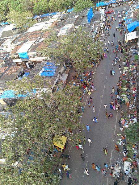
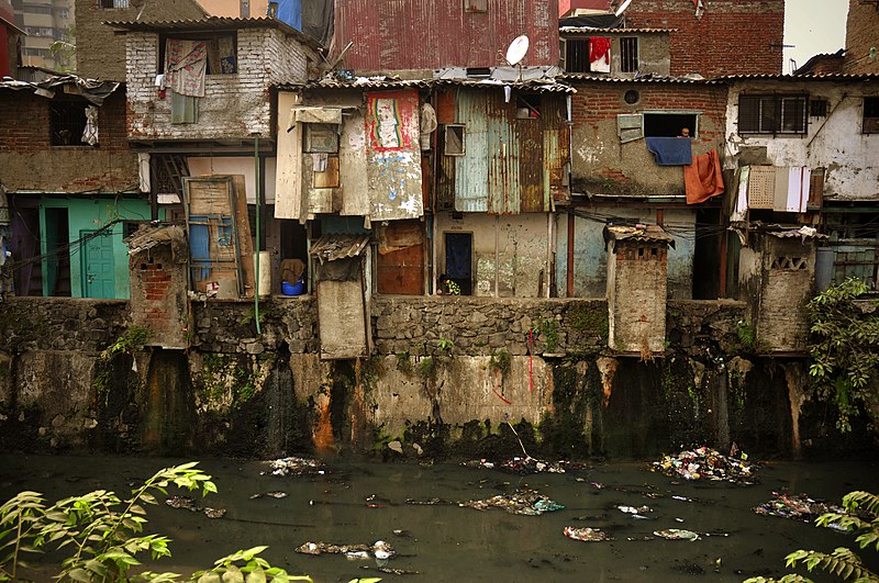
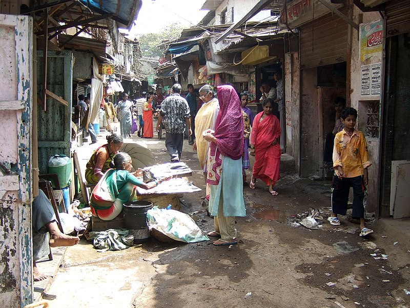
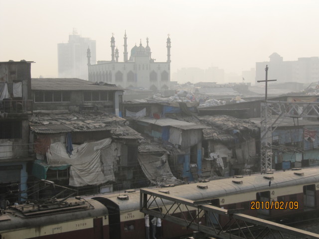
Dharavi is a locality in Mumbai, Maharashtra, India, considered to be one of Asia's largest slums. Dharavi has an area of just over 2.1 square kilometres and a population of about 1,000,000. With a population density of over 277,136/km2, Dharavi is one of the most densely populated areas in the world. ()
Address
Mahim - Dadar - Prabhadevi (Mahim)Mumbai
ContactAdd
Social media
Add
Day trips
Dharavi – popular in the area (distance from the attraction)
Nearby attractions include: St, Sion Hillock Fort, Godrej BKC, Church of Our Lady of Good Counsel & Shrine of St. Anthony.
Frequently Asked Questions (FAQ)
Which popular attractions are close to Dharavi?
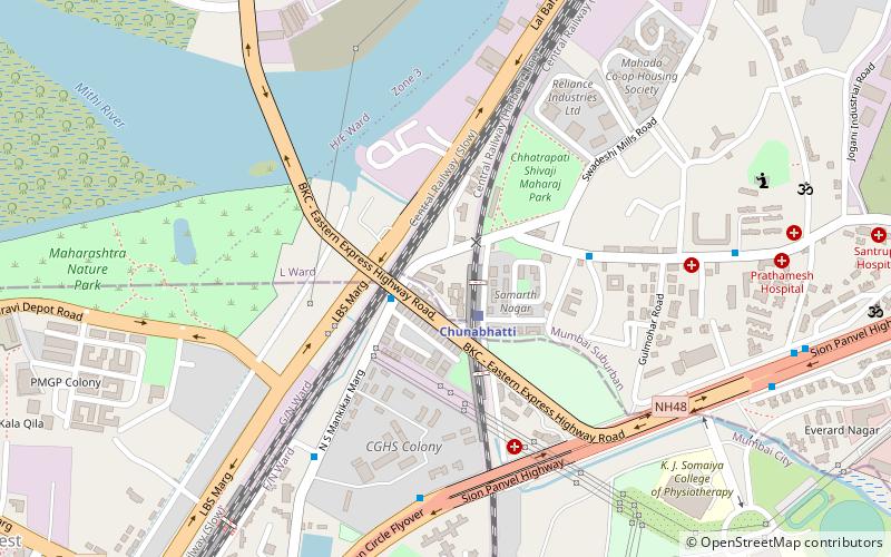
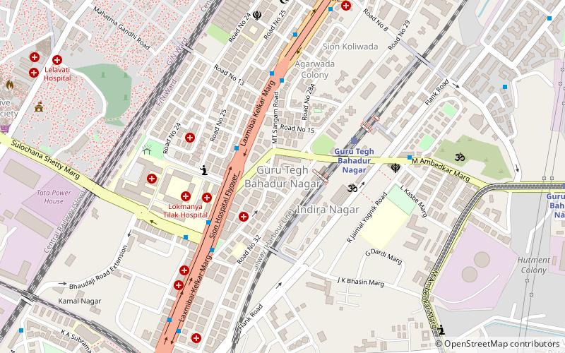
Nearby attractions include Sion, Mumbai (9 min walk), Church of Our Lady of Good Counsel & Shrine of St. Anthony, Mumbai (10 min walk), Guru Tegh Bahadur Nagar, Mumbai (15 min walk), Maharashtra Nature Park Society, Mumbai (15 min walk).
How to get to Dharavi by public transport?
The nearest stations to Dharavi:
Train
Bus
Train
- Sion (9 min walk)
- GTB nagar (15 min walk)
Bus
- Chuna Bhatti (21 min walk)
- Bandra East (31 min walk)


