Sion, Mumbai
Map
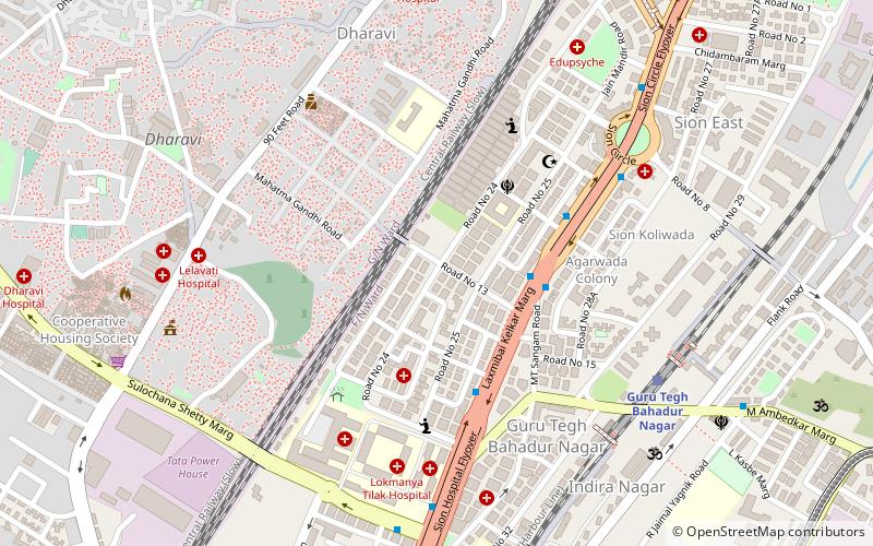
Map

Facts and practical information
Sion is a neighbourhood of Mumbai. In the 17th century the village formed the boundary between Mumbai and Salsette Island. The British named it marking the end of the city. The name remained even after Mumbai was joined to the Salsette and extended up to Mulund. One of the local historical places in Sion is a hilltop garden commonly known as Sion Fort or Sheevon Killa in the Marathi language. ()
Coordinates: 19°2'24"N, 72°51'36"E
Address
Matunga (Matunga West)Mumbai
ContactAdd
Social media
Add
Day trips
Sion – popular in the area (distance from the attraction)
Nearby attractions include: Shivaji Mandir, Sion Hillock Fort, Godrej BKC, Church of Our Lady of Good Counsel & Shrine of St. Anthony.
Frequently Asked Questions (FAQ)
Which popular attractions are close to Sion?
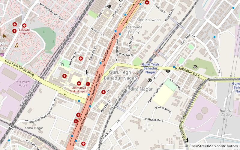
Nearby attractions include Guru Tegh Bahadur Nagar, Mumbai (7 min walk), Dharavi, Mumbai (9 min walk), Church of Our Lady of Good Counsel & Shrine of St. Anthony, Mumbai (13 min walk), Sion Hillock Fort, Mumbai (17 min walk).
How to get to Sion by public transport?
The nearest stations to Sion:
Train
Bus
Train
- GTB nagar (9 min walk)
- Sion (13 min walk)
Bus
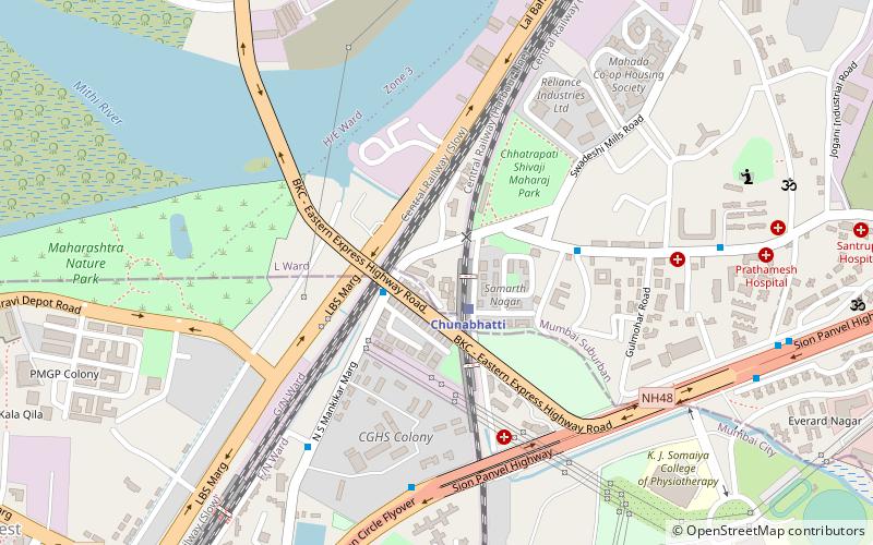
- Chuna Bhatti (25 min walk)
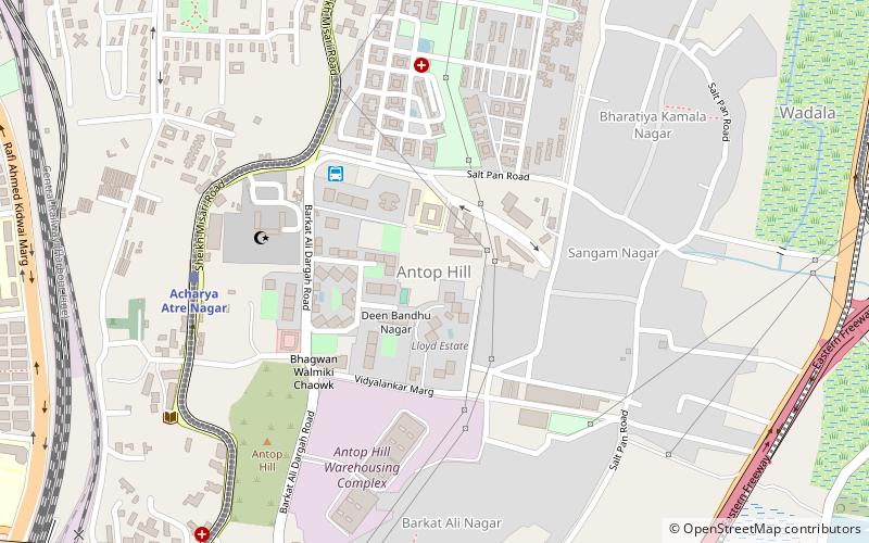
- Antop Hill Depot (28 min walk)

