Rajajinagar, Bangalore
Map
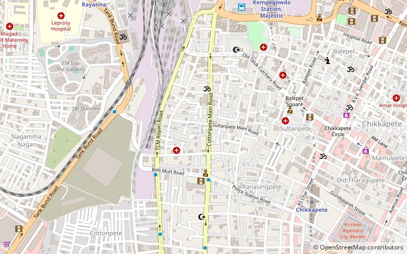
Map

Facts and practical information
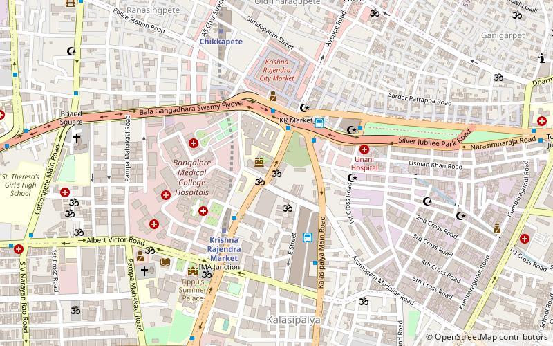
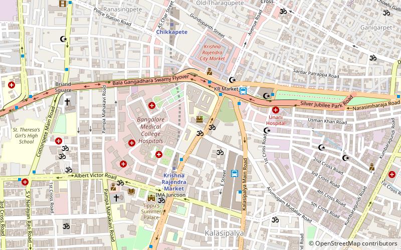
Rajajinagar, officially Rajajinagara is a residential neighborhood and business hub in the west of Bangalore. It is one of the zones of BBMP. It is bordered by Basaveshwaranagara, Malleshwara, Mahalakshmipura alias West of Chord road 2nd stage, Mahalakshmi Layout, Vijayanagara and Rajajinagara Industrial Suburb. It serves as a centre place to all in Bengaluru. ()
Coordinates: 12°58'12"N, 77°34'12"E
Address
CottonpetBangalore
ContactAdd
Social media
Add
Day trips
Rajajinagar – popular in the area (distance from the attraction)
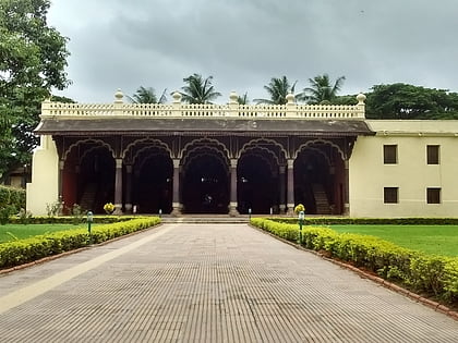
Nearby attractions include: Tipu Sultan's Summer Palace, Avenue Road, Bangalore Fort, Freedom Park.
Frequently Asked Questions (FAQ)
Which popular attractions are close to Rajajinagar?
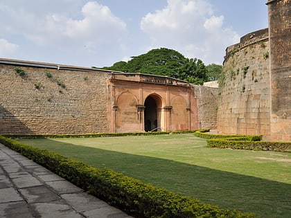
Nearby attractions include Chickpet, Bangalore (13 min walk), Bangalore Fort, Bangalore (16 min walk), Ranganathaswamy Temple, Bangalore (16 min walk), Bengaluru Pete, Bangalore (17 min walk).
How to get to Rajajinagar by public transport?
The nearest stations to Rajajinagar:
Bus
Metro
Train
Bus
- Cottonpet Hospital Super Talkies • Lines: 201M, 218, 218A, 220D, 222A, 222N, 225C, 226J, 227A, 227C, 227N, 234E (4 min walk)
- Binny Mill , Goodshed Road Gate • Lines: 1 (5 min walk)
Metro
- Chikkapete • Lines: Green (10 min walk)
- Nadaprabhu Kempegowda Station, Majestic • Lines: Green, Purple (12 min walk)
Train
- Krantivira Sangolli Rayanna (15 min walk)

