Kodaikanal–Munnar Road
Map

Map

Facts and practical information
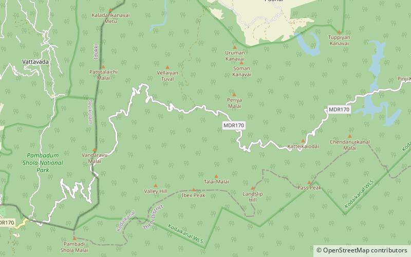
The Kodaikanal–Munnar Road was located in Dindigul District and Theni District of Tamil Nadu and Idukki district of Kerala in South India. It covers 81 kilometers from Kodaikanal to Munnar. The road was improved by the British in 1942 as an evacuation route in preparation for a possible Japanese invasion of South India. With a maximum elevation of 2,480 meters just south of Vandaravu Peak, it was among the highest roads in India, south of the Himalayas, prior to its closure in 1990. ()
Coordinates: 10°9'19"N, 77°18'37"E
Location
Tamil Nadu
ContactAdd
Social media
Add
Best Ways to Experience the Place
Wildlife
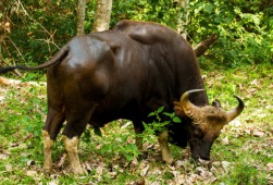
AnimalsSee what popular animal species you can meet in this location.
More
Day trips
Kodaikanal–Munnar Road – popular in the area (distance from the attraction)
Nearby attractions include: Vandaravu, Pampadum Shola National Park.


