Baikunthapur Forest
Map

Gallery

Facts and practical information
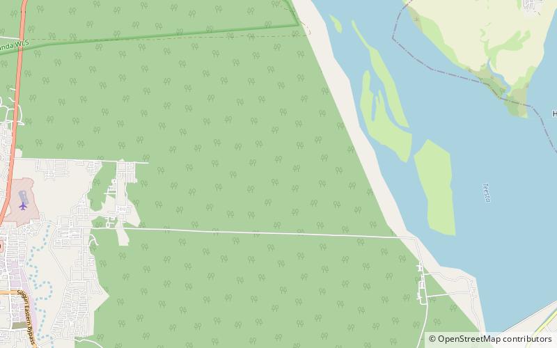
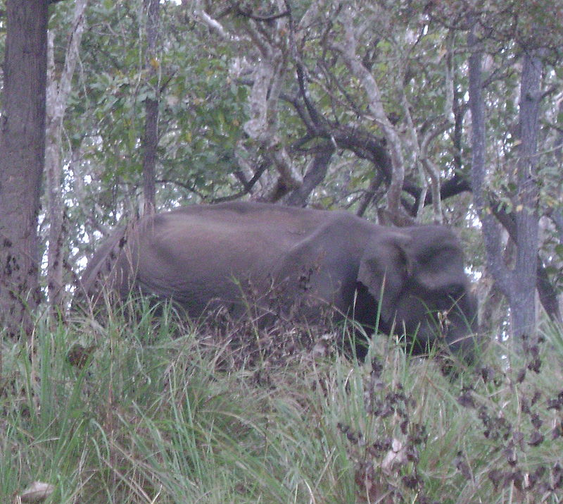
Baikunthapur is a Terai forest region in the western part of the Dooars in West Bengal, India, south of the Himalayan foothills, between the Mahananda River to the west and Teesta River to the east. The main towns in the area are Siliguri and Jalpaiguri. The forests are partly in the Darjeeling district and partly in the Jalpaiguri district. ()
Coordinates: 26°46'48"N, 88°30'54"E
Location
West Bengal
ContactAdd
Social media
Add
Day trips
Baikunthapur Forest – popular in the area (distance from the attraction)
Nearby attractions include: Cosmos Mall, Salugara Monastery, Uttorayon Township.


