Uttorayon Township, Siliguri
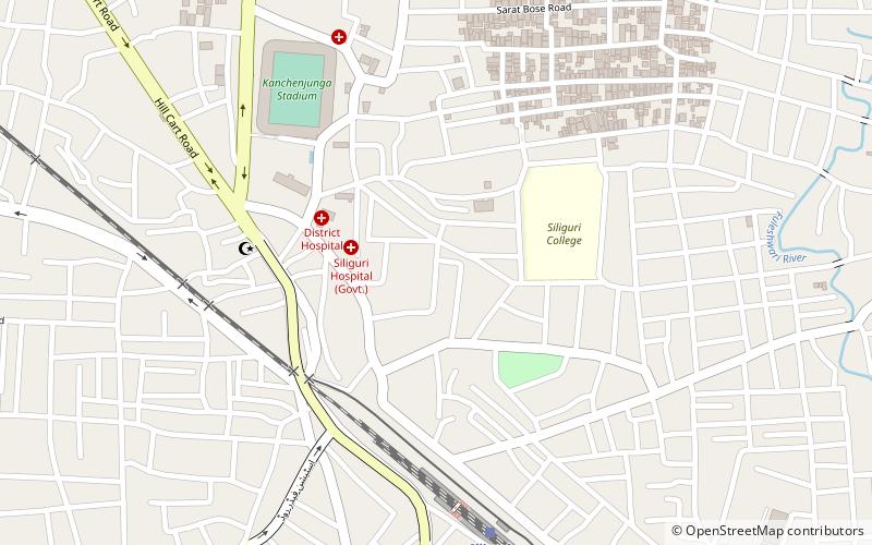
Map
Facts and practical information
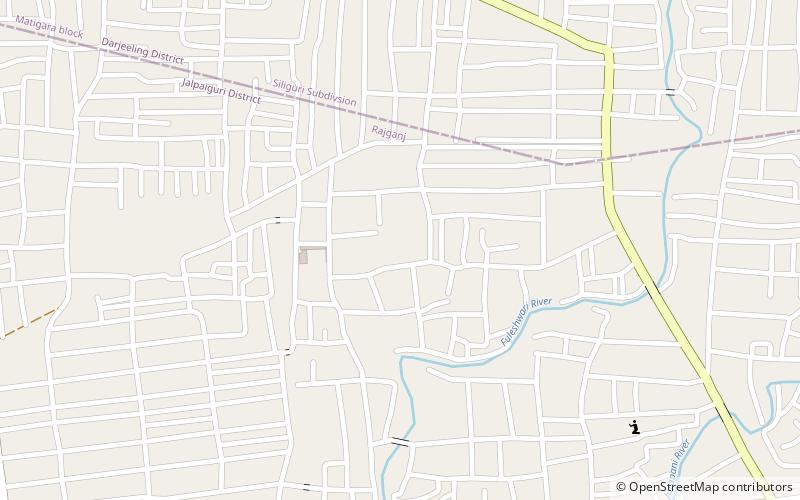
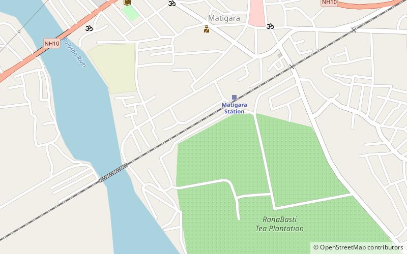
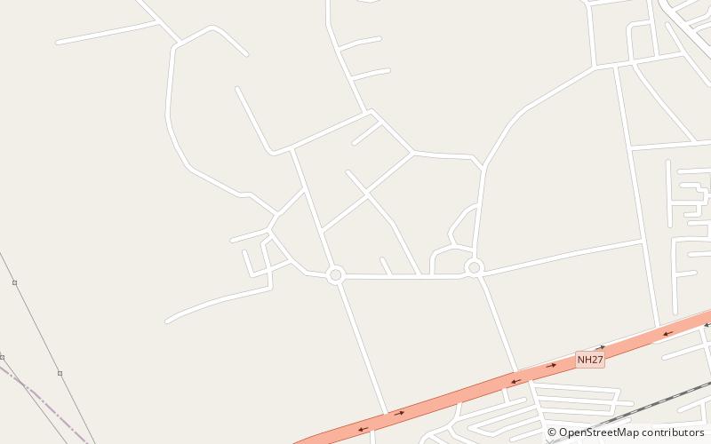
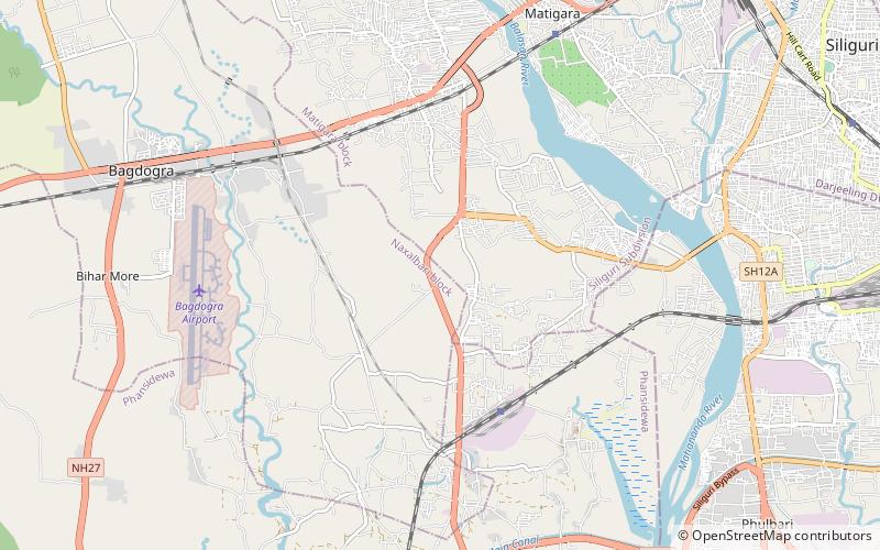
Uttorayon Township is a town in the foothills of the Himalayas on the outskirts of Siliguri. It consists of neat clusters of houses and apartments. It is the first township in Siliguri. ()
Coordinates: 26°42'36"N, 88°25'48"E
Address
Siliguri
ContactAdd
Social media
Add
Day trips
Uttorayon Township – popular in the area (distance from the attraction)
Nearby attractions include: Cosmos Mall, Surya Sen Mahavidyalaya, Salugara Monastery, Baikunthapur Forest.
Frequently Asked Questions (FAQ)
How to get to Uttorayon Township by public transport?
The nearest stations to Uttorayon Township:
Train
Bus
Train
- Siliguri Town (9 min walk)
- Siliguri Junction (36 min walk)
Bus
- Bus to Bhutan Border (19 min walk)
- Sikkim bus station (33 min walk)

