Salugara Monastery, Siliguri
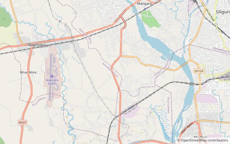
Map
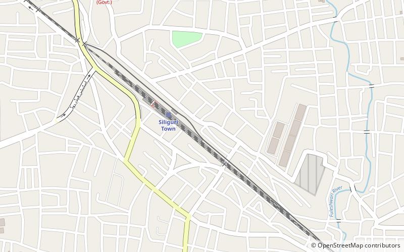
Map

Facts and practical information
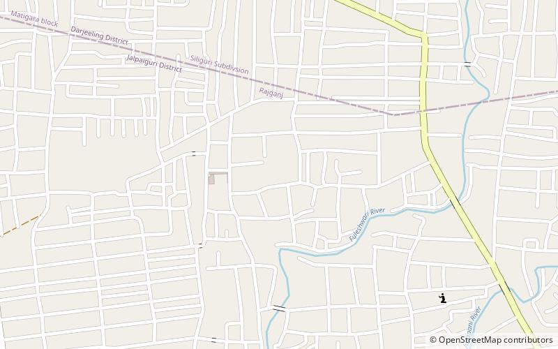
Salugara Monastery is a Buddhist shrine on the outskirts of Siliguri in the State of West Bengal, India. The Monastery is located 6 km from the city. It was founded by Tibetan monks and followers of the Dalai Lama. ()
Coordinates: 26°42'18"N, 88°25'57"E
Address
Siliguri
ContactAdd
Social media
Add
Day trips
Salugara Monastery – popular in the area (distance from the attraction)
Nearby attractions include: Cosmos Mall, Surya Sen Mahavidyalaya, Baikunthapur Forest, Uttorayon Township.
Frequently Asked Questions (FAQ)
Which popular attractions are close to Salugara Monastery?
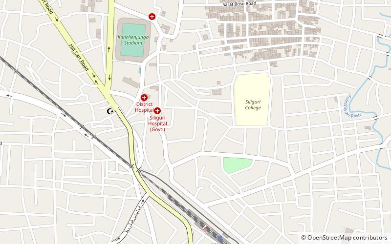
Nearby attractions include Uttorayon Township, Siliguri (10 min walk), Surya Sen Mahavidyalaya, Siliguri (24 min walk).
How to get to Salugara Monastery by public transport?
The nearest stations to Salugara Monastery:
Train
Bus
Train
- Siliguri Town (3 min walk)
Bus
- Bus to Bhutan Border (28 min walk)


