Pauhunri

Map
Facts and practical information
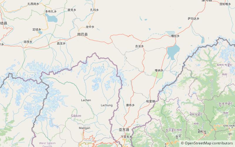
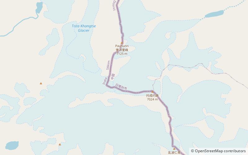
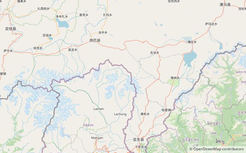
Pauhunri is a mountain in the Eastern Himalayas. It is located on the border of Sikkim, India and Tibet and is situated about 75 km northeast of Kangchenjunga. It marks the origin of Teesta river. ()
Alternative names: First ascent: 1911Elevation: 23386 ftProminence: 6677 ftCoordinates: 27°57'5"N, 88°50'34"E
Location
Sikkim
ContactAdd
Social media
Add
Day trips
Pauhunri – popular in the area (distance from the attraction)
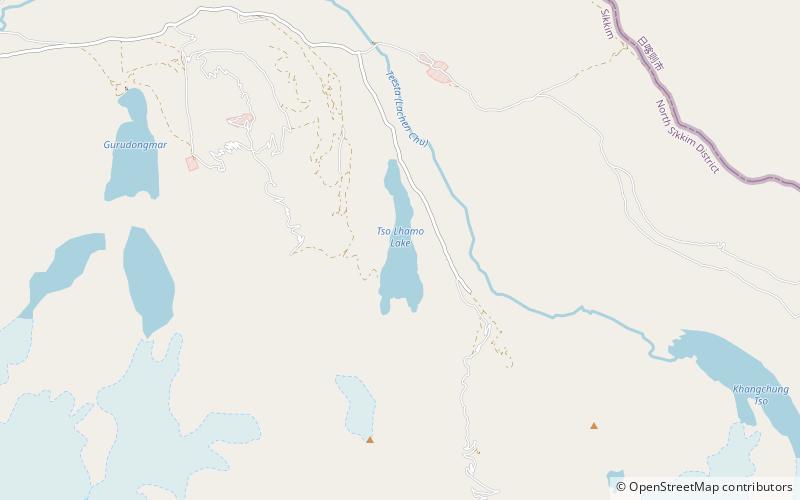
Nearby attractions include: Tso Lhamo Lake, Paohanli Peak, Dongkha La.


