Dongkha La
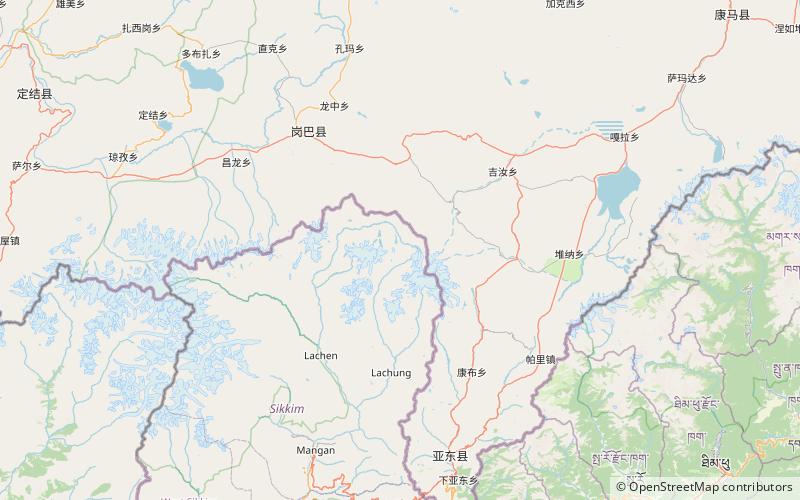
Map
Facts and practical information
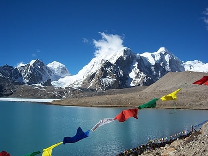
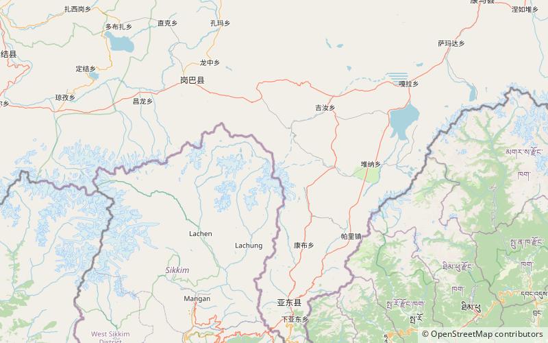
The Dongkha la or Donkia Pass is a high mountain pass in the Himalaya connecting Sikkim in India with Tibet. ()
Maximum elevation: 18156 ftCoordinates: 27°59'15"N, 88°46'2"E
Location
Sikkim
ContactAdd
Social media
Add
Day trips
Dongkha La – popular in the area (distance from the attraction)
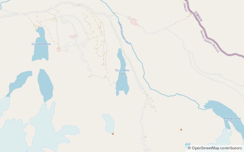
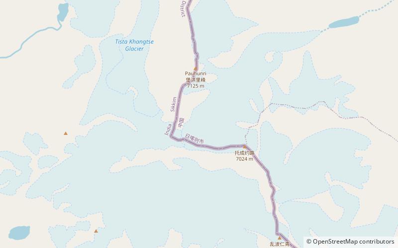
Nearby attractions include: Gurudongmar Lake, Pauhunri, Tso Lhamo Lake, Paohanli Peak.
