Paohanli Peak

Map
Facts and practical information
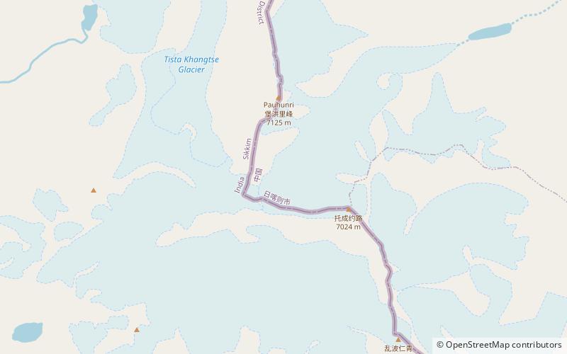
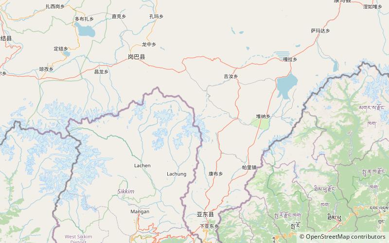
Paohanli Peak or Paunhuri (simplified Chinese: 泡罕里峰; traditional Chinese: 泡罕里峰; Standard Tibetan: ???, is a 7,128-metre-high peak at the border of Zarkang, Yadong County, Tibet and Sikkim. From the north to the south, near Paohanli Peak there are four peaks with an altitude of over 6,500 m : Molayi, Tovhenyolu, Qijolabje and Kanchangbinshong. ()
Elevation: 23386 ftCoordinates: 27°56'4"N, 88°50'38"E
Location
Sikkim
ContactAdd
Social media
Add
Day trips
Paohanli Peak – popular in the area (distance from the attraction)
Nearby attractions include: Pauhunri, Tso Lhamo Lake, Dongkha La.


