Gali Paranthe Wali, Delhi
Map
Facts and practical information
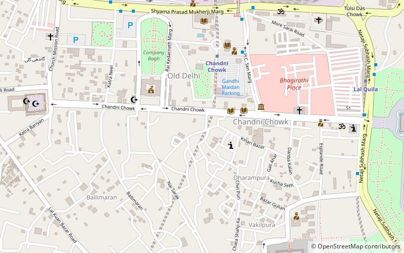
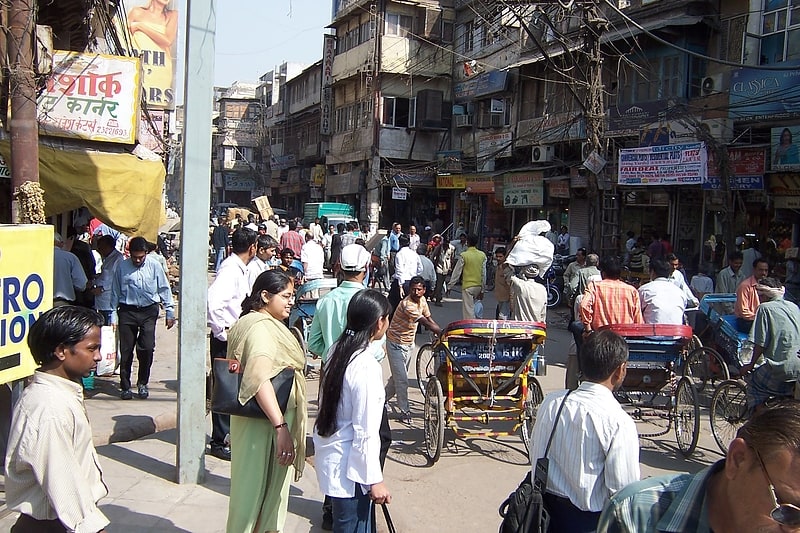
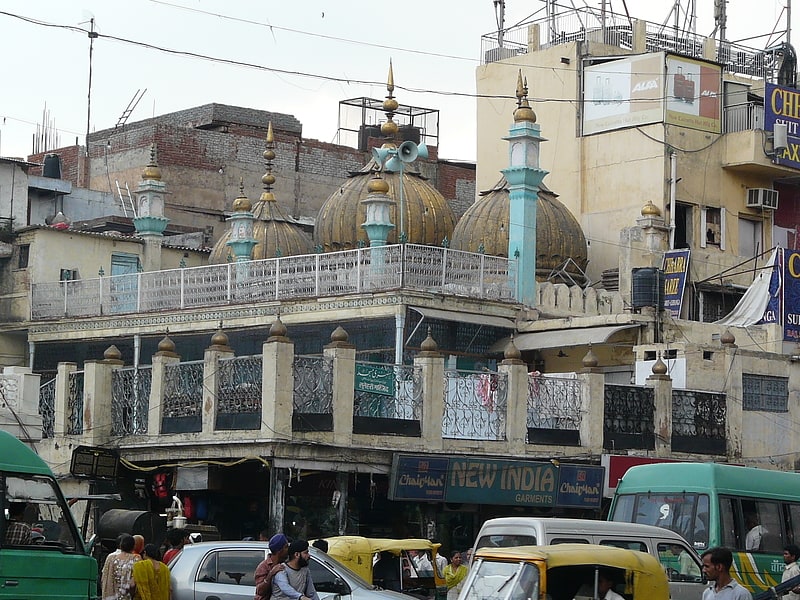
Gali Paranthe Wali or Paranthe wali Gali is a narrow street in the Chandni Chowk area of Delhi, India, noted for its series of shops selling paratha, an Indian flatbread. ()
Local name: परांठेवाली गलीCoordinates: 28°39'21"N, 77°13'47"E
Address
Central Delhi (Chandni Chowk)Delhi
ContactAdd
Social media
Add
Getting there by public transportation
Public transportation stops near this location
- Metro
- Bus
- Train
 Metro
Metro
- Calculate routeChandni Chowk 5 min walk
- Calculate routeLal Quila 12 min walk
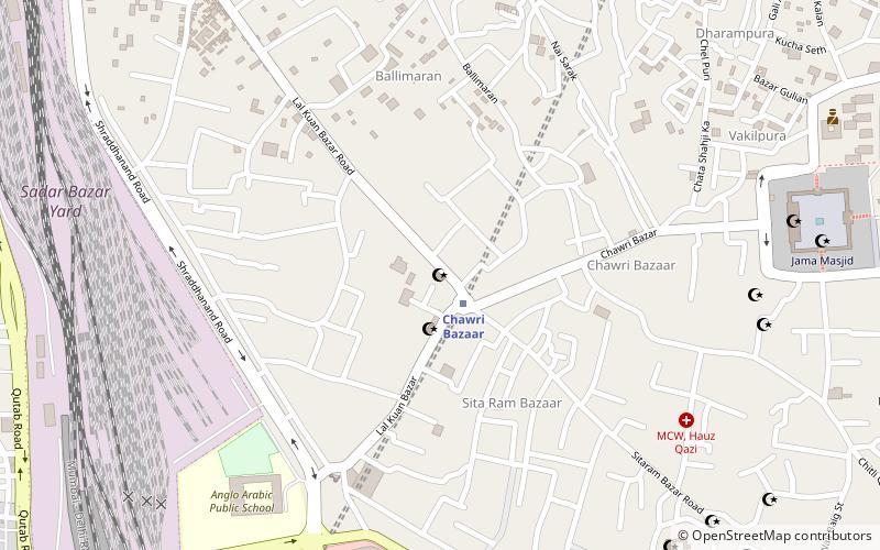
- Calculate routeChawri Bazaar 13 min walk
- Calculate routeJama Masjid 16 min walk
- Calculate routeOld Delhi Railway Station 9 min walk
- Calculate routeLal Quila 13 min walk
- Calculate routeDelhi Junction 10 min walk
- Calculate routeSadar Bazar 20 min walk
- Calculate routeNew Delhi 28 min walk
Maps Metro
Metro
MetroDay trips


Frequently Asked Questions (FAQ)
Which popular attractions are close to Gali Paranthe Wali?
Nearby attractions include Sunehri Masjid, Delhi (4 min walk), Chandni Chowk, Delhi (4 min walk), City Hall, Delhi (5 min walk), Gurudwara Sis Ganj Sahib, Delhi (5 min walk).
How to get to Gali Paranthe Wali by public transport?
The nearest stations to Gali Paranthe Wali:
Metro
Bus
Train
Metro
- Chandni Chowk • Lines: Yellow Line (5 min walk)
- Lal Quila • Lines: Violet Line (12 min walk)
Bus
- Old Delhi Railway Station • Lines: 405, 425, 502 (9 min walk)
- Lal Quila • Lines: 118Ext, 347, 348, 405, 419, 425, 429, 502 (13 min walk)
Train
- Delhi Junction (10 min walk)
- Sadar Bazar (20 min walk)