Pali Hill, Mumbai
Map
Facts and practical information
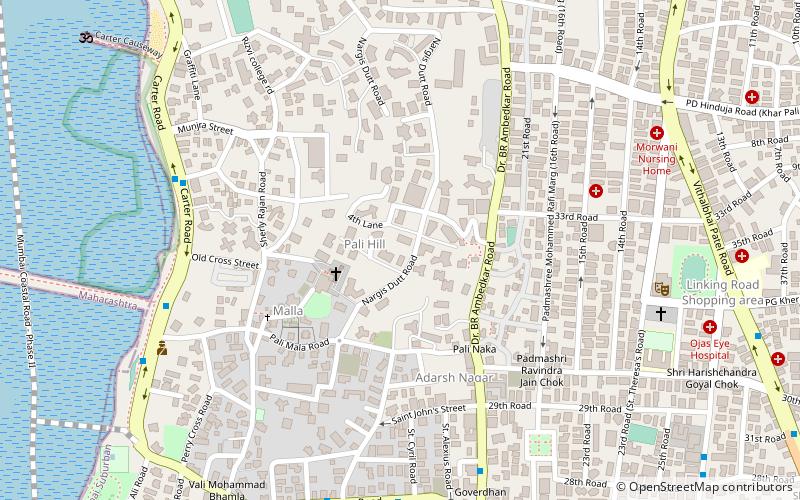
Pali Hill is an affluent residential area spread across the adjoined suburbs of Bandra and Khar in Mumbai, India. ()
Coordinates: 19°3'53"N, 72°49'40"E
Address
Bandra - Khar (Bandra West)Mumbai
ContactAdd
Social media
Add
Getting there by public transportation
Public transportation stops near this location
- Bus
- Train
 Bus
Bus
- Calculate routeSt. Andrew's Church 19 min walk
- Calculate routeGalaxy Apartments 21 min walk
- Calculate routeBandra Terminus 24 min walk
- Calculate routePrarthnalaya 26 min walk
- Calculate routeKhar Road 22 min walk
- Calculate routeBandra Terminus 24 min walk
- Calculate routeBandra 27 min walk
- Calculate routeSanta Cruz 38 min walk
Day trips


Frequently Asked Questions (FAQ)
Which popular attractions are close to Pali Hill?
Nearby attractions include Bandra, Mumbai (4 min walk), Sangeet Samrat Naushad Ali Marg, Mumbai (8 min walk), Kherwadi, Mumbai (18 min walk), St. Andrew's Church, Mumbai (19 min walk).
How to get to Pali Hill by public transport?
The nearest stations to Pali Hill:
Bus
Train
Bus
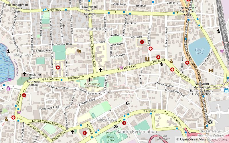
- St. Andrew's Church • Lines: 211 (19 min walk)
- Galaxy Apartments • Lines: 211 (21 min walk)
Train
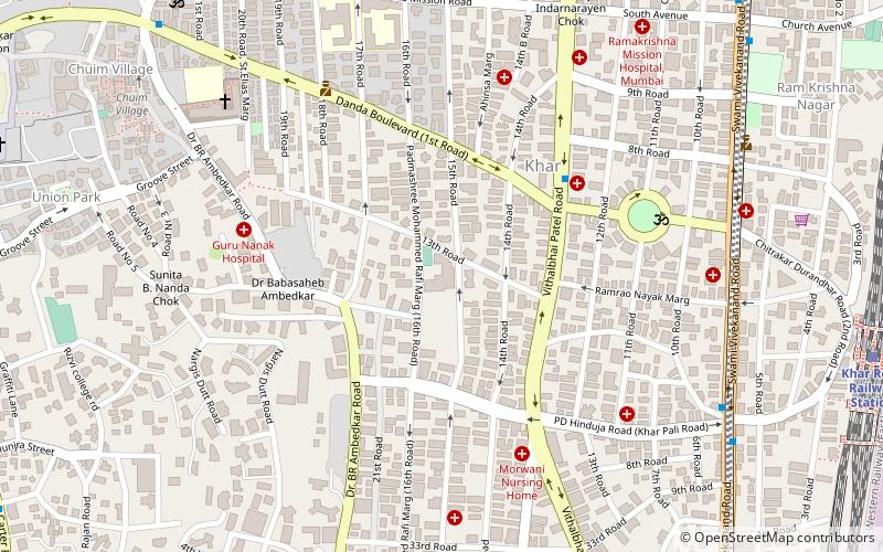
- Khar Road (22 min walk)
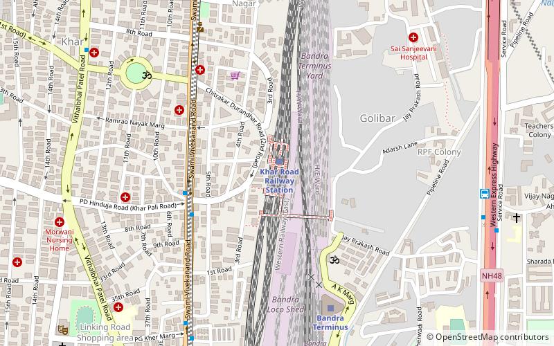
- Bandra Terminus (24 min walk)