Western Suburbs, Mumbai
Map

Map

Facts and practical information
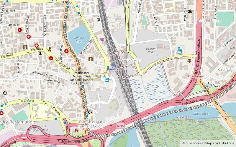
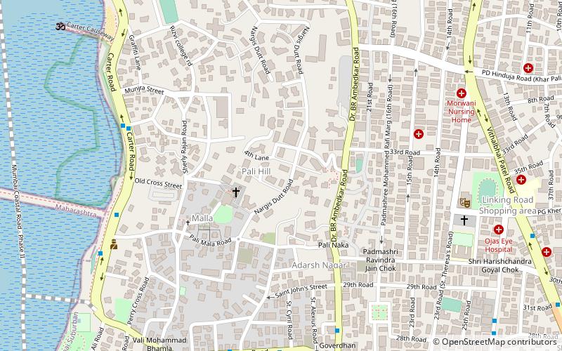
The Western Suburbs is the western precinct of the city of Mumbai, India. The Western Suburbs consist of Andheri, Bandra, Bhayander, Borivali, Dahisar, Goregaon, Jogeshwari, Juhu, Kandivali, Khar, Malad, Mira Road, Santacruz and Vile Parle. Geographically, the Western Suburbs lie at the western part of Salsette Island, is a continuous urban sprawl spanning the areas from Bandra to Bhayander, which is separated by the Vasai Creek from Vasai-Virar city and Mithi River from Mumbai city. ()
Area: 156.72 mi²Coordinates: 19°3'16"N, 72°50'26"E
Address
Bandra - Khar (Bandra West)Mumbai
ContactAdd
Social media
Add
Day trips
Western Suburbs – popular in the area (distance from the attraction)
Nearby attractions include: Mahim Fort, Basilica of Our Lady of the Mount, Sangeet Samrat Naushad Ali Marg, St. Andrew's Church.
Frequently Asked Questions (FAQ)
Which popular attractions are close to Western Suburbs?
Nearby attractions include Bandra Talao, Mumbai (7 min walk), Mahim Causeway, Mumbai (11 min walk), The Bombay Art Society, Mumbai (14 min walk), Kherwadi, Mumbai (16 min walk).
How to get to Western Suburbs by public transport?
The nearest stations to Western Suburbs:
Train
Bus
Train
- Bandra (2 min walk)
- Bandra Terminus (19 min walk)
Bus
- Bandra Depot (2 min walk)
- Bandra East (8 min walk)


