Deen Dayal Upadhyaya College, Delhi
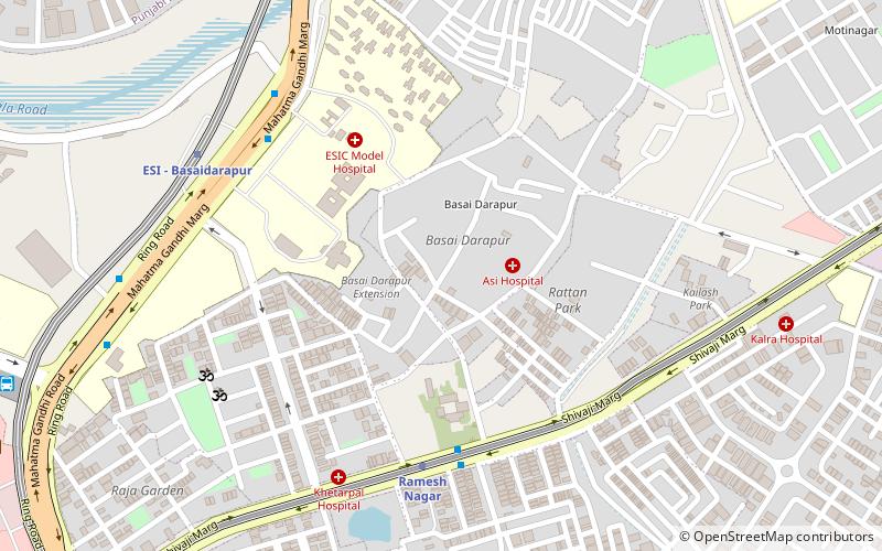
Map
Facts and practical information
Deen Dayal Upadhyaya College is a constituent college of the University of Delhi in India, located at Phase 1, Dwarka Sector-3, Dwarka, New Delhi, Delhi 110078. It is fully funded by Government of Delhi. It was established in August 1990 in the memory of Deen Dayal Upadhyaya, a philosopher, thinker and social worker. ()
Established: 1912 (114 years ago)Coordinates: 28°39'45"N, 77°8'59"E
Getting there by public transportation
Public transportation stops near this location
- Metro
- Bus
- Train
 Metro
Metro
- Calculate routeMoti Nagar Industrial Area 10 min walk
- Calculate routeShadipur Colony 22 min walk
- Calculate routeSatguru Ramsingh Marg 13 min walk
- Calculate routeKirti Nagar 14 min walk
- Calculate routeMoti Nagar 14 min walk
- Calculate routeAshok Park Main 19 min walk
- Calculate routePatel Nagar 13 min walk
- Calculate routeKirti Nagar 27 min walk
Maps Metro
Metro
MetroDay trips
Frequently Asked Questions (FAQ)
Which popular attractions are close to Deen Dayal Upadhyaya College?
Nearby attractions include Kathputli Colony, Delhi (14 min walk), Kirti Nagar, Delhi (23 min walk).
How to get to Deen Dayal Upadhyaya College by public transport?
The nearest stations to Deen Dayal Upadhyaya College:
Bus
Metro
Train
Bus
- Moti Nagar Industrial Area • Lines: 410, 410A (10 min walk)
- Shadipur Colony • Lines: 73 (22 min walk)
Metro
- Satguru Ramsingh Marg • Lines: Green Line (13 min walk)
- Kirti Nagar • Lines: Blue Line, Green Line (14 min walk)
Train
- Patel Nagar (13 min walk)
- Kirti Nagar (27 min walk)