Patel Nagar, Delhi
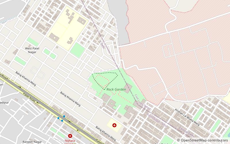
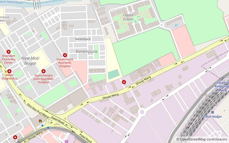
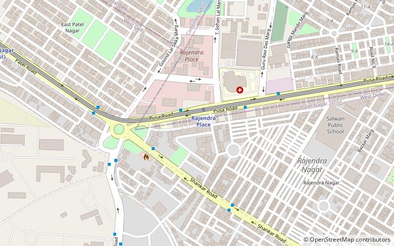
Map
Facts and practical information
Patel Nagar is one of the 3 sub-division of the Central Delhi District in India. ()
Coordinates: 28°39'2"N, 77°10'9"E
Address
Central Delhi (Dev Nagar)Delhi
ContactAdd
Social media
Add
Getting there by public transportation
Public transportation stops near this location
- Metro
- Bus
- Train
 Metro
Metro
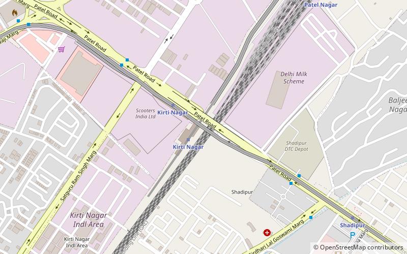
- Calculate routeWest Patel Nagar 9 min walk
- Calculate routePatel Nagar Metro Station 9 min walk
- Calculate routeEast Patel Nagar 18 min walk
- Calculate routePatel Nagar 10 min walk
- Calculate routeShadipur 17 min walk
- Calculate routeRajendra Place 20 min walk
- Calculate routeSatguru Ramsingh Marg 27 min walk
- Calculate routePatel Nagar 25 min walk
- Calculate routeDayabasti 30 min walk
- Calculate routeDelhi Sarai Rohilla 33 min walk
- Calculate routeVivekanand Puri 34 min walk
Maps Metro
Metro
MetroDay trips

Frequently Asked Questions (FAQ)
Which popular attractions are close to Patel Nagar?
Nearby attractions include South Patel Nagar, Delhi (1 min walk), East Patel Nagar, Delhi (1 min walk), West Patel Nagar, Delhi (1 min walk), Rajendra Place, Delhi (21 min walk).
How to get to Patel Nagar by public transport?
The nearest stations to Patel Nagar:
Bus
Metro
Train
Bus
- West Patel Nagar • Lines: 410, 410A, 73, 85, 85Ext (9 min walk)
- Patel Nagar Metro Station • Lines: 410, 410A, 73, 85, 85Ext (9 min walk)
Metro
- Patel Nagar • Lines: Blue Line (10 min walk)
- Shadipur • Lines: Blue Line (17 min walk)
Train
- Patel Nagar (25 min walk)
- Dayabasti (30 min walk)