Bali Nagar, Delhi
Map
Facts and practical information
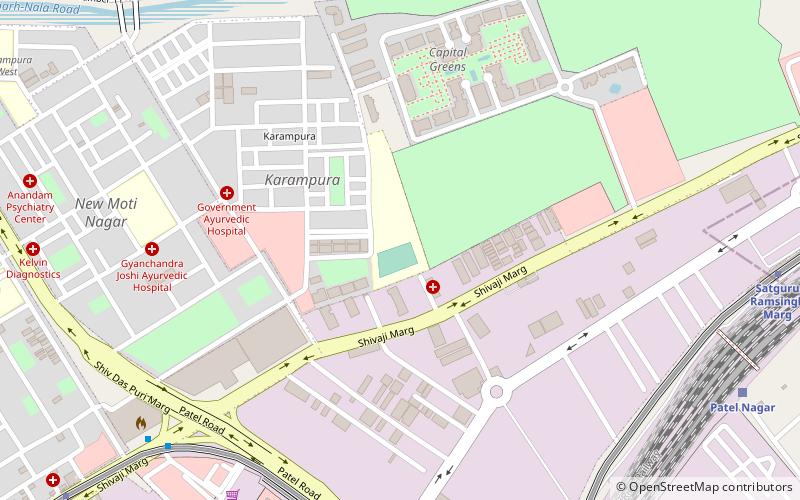
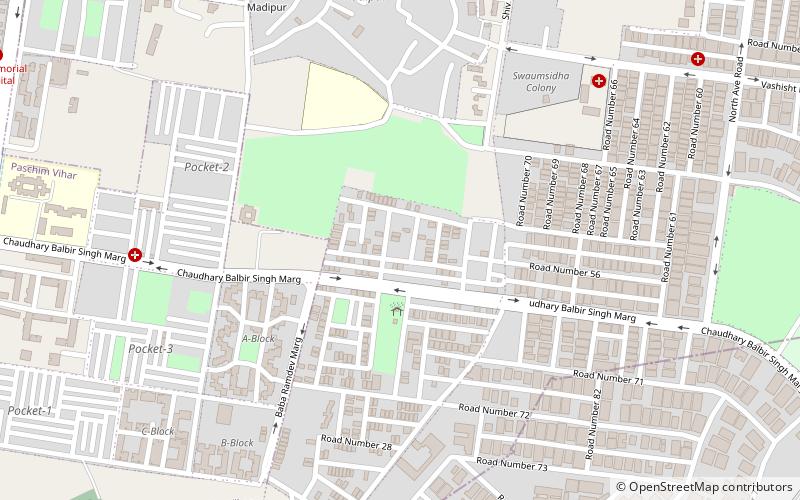
Bali Nagar is a medium-high dem residential colony located in West of New Delhi, India. It was developed by Bali & Co Ltd. Once a farming land, it was sold for development in the 1970s and was primarily bought up by businessmen. It is a relatively green ex-suburb with a spacious high street boasting most amenities. Please click on link provided to check the latest Rating & Review on Bali Nagar: ()
Coordinates: 28°39'22"N, 77°7'55"E
Address
West Delhi (Rajouri Garden)Delhi
ContactAdd
Social media
Add
Day trips
Bali Nagar – popular in the area (distance from the attraction)
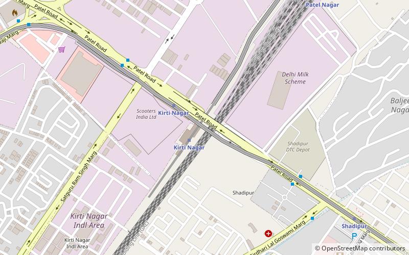
Nearby attractions include: Deen Dayal Upadhyaya College, Kirti Nagar, Naraina Vihar, Rajouri Garden.
Frequently Asked Questions (FAQ)
How to get to Bali Nagar by public transport?
The nearest stations to Bali Nagar:
Bus
Metro
Train
Bus
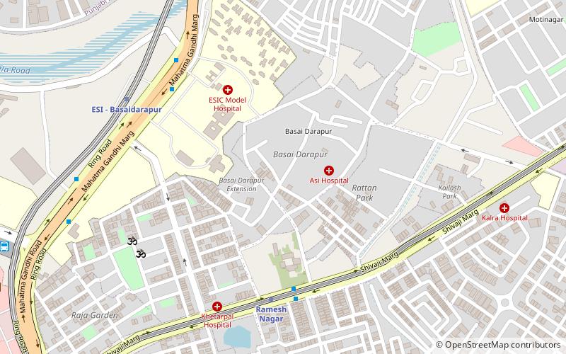
- Ramesh Nagar • Lines: 410, 410A (6 min walk)
- ESI Hospital • Lines: (-) Tms, (+) Tms, 448, 448A, 479A (8 min walk)
Metro
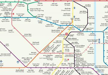
- Ramesh Nagar • Lines: Blue Line (6 min walk)
- ESI Hospital • Lines: Pink Line (9 min walk)
Train
- Kirti Nagar (26 min walk)
 Metro
Metro