St. Tigo Chapel, Diu
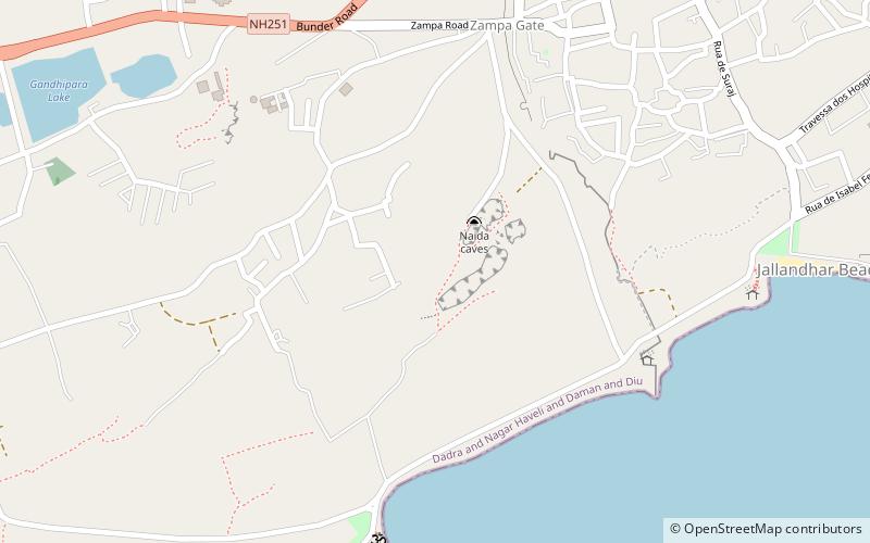
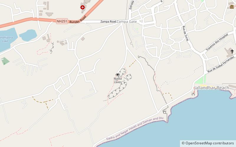
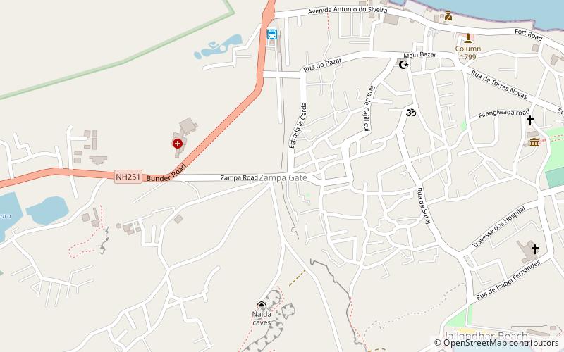
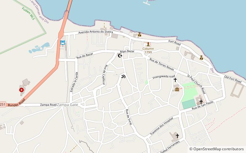
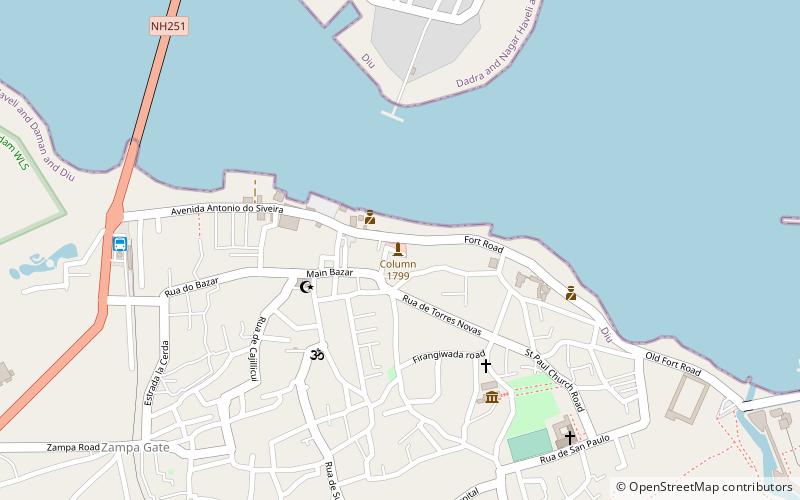
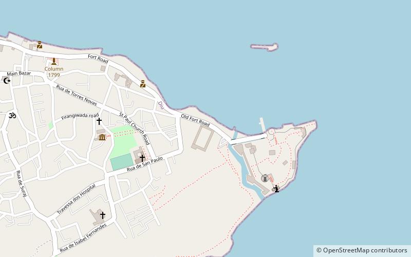
Map
Facts and practical information
St. Tigo Chapel is a place located in Diu (Daman and Diu union territory) and belongs to the category of sightseeing.
It is situated at an altitude of 23 feet, and its geographical coordinates are 20°42'49"N latitude and 70°59'47"E longitude.
Planning a visit to this place, one can easily and conveniently get there by public transportation. St. Tigo Chapel is a short distance from the following public transport stations: Diu (bus, 26 min walk).
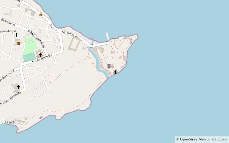
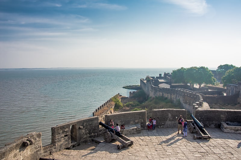
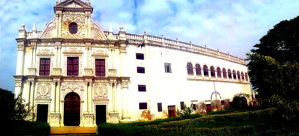
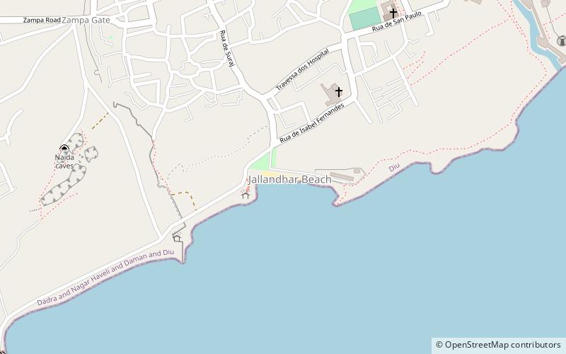
Among other places and attractions worth visiting in the area are: Fort Diu (forts and castles, 1 min walk), Diu College (universities and schools, 7 min walk), St. Paul's Church (sacred and religious sites, 10 min walk).
Coordinates: 20°42'49"N, 70°59'47"E
Address
Diu
ContactAdd
Social media
Add
Getting there by public transportation
Public transportation stops near this location
- Bus
 Bus
Bus
- Calculate routeDiu 26 min walk
- Calculate routeJethbai Bus Stand Diu 27 min walk
Day trips
Frequently Asked Questions (FAQ)
Which popular attractions are close to St. Tigo Chapel?
Nearby attractions include Fort Diu, Diu (1 min walk), Diu College, Diu (7 min walk), St. Paul's Church, Diu (10 min walk), Jallandhar Beach, Diu (16 min walk).
How to get to St. Tigo Chapel by public transport?
The nearest stations to St. Tigo Chapel:
Bus
Bus
- Diu (26 min walk)
- Jethbai Bus Stand Diu (27 min walk)