Karumandapam, Tiruchirappalli

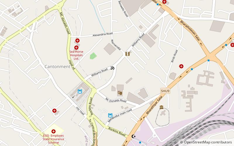
Map
Facts and practical information
Karumandapam is a part of the city of Tiruchirappalli in Tamil Nadu, India, adjoining the Tiruchirappalli Junction. Situated on the Tiruchi-Dindigul road, Just 3 Km from Trichy Central Bus Stand. Karumandapam has been affected by traffic congestion over the past few years. Karumandapam has its unique Temple Named "Ilangattu mariamman Kovil". This temple is very old and powerful for the Peoples who lives in and around Karumandapam.Its car festival falls on the Tamil month of "Vaigasi" every year. This is Seven days festival Through Sunday to next Monday. ()
Coordinates: 10°47'22"N, 78°40'6"E
Address
Tiruchirappalli
ContactAdd
Social media
Add
Getting there by public transportation
Public transportation stops near this location
- Bus
- Train
 Bus
Bus
- Calculate routeTrichy Central Bus Stand 27 min walk
- Calculate routeOmni Bus stand 29 min walk
- Calculate routeTiruchchirappalli Junction 31 min walk
Day trips


Frequently Asked Questions (FAQ)
How to get to Karumandapam by public transport?
The nearest stations to Karumandapam:
Bus
Train
Bus
- Trichy Central Bus Stand (27 min walk)
- Omni Bus stand (29 min walk)
Train
- Tiruchchirappalli Junction (31 min walk)