Tiruchirappalli Fort, Tiruchirappalli
Map

Map

Facts and practical information
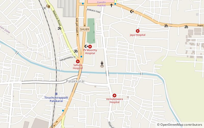
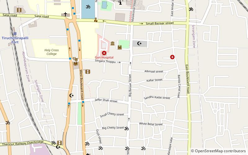
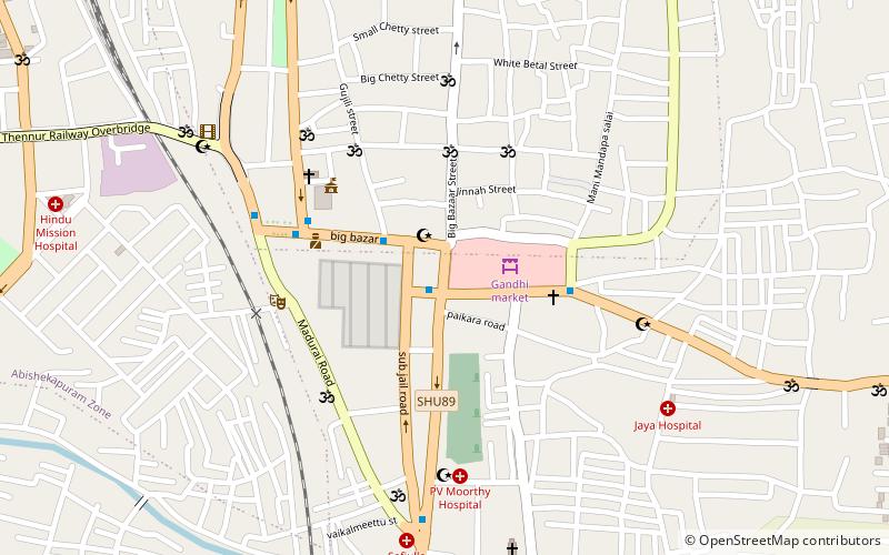
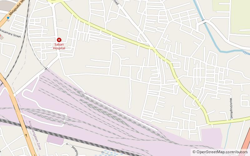
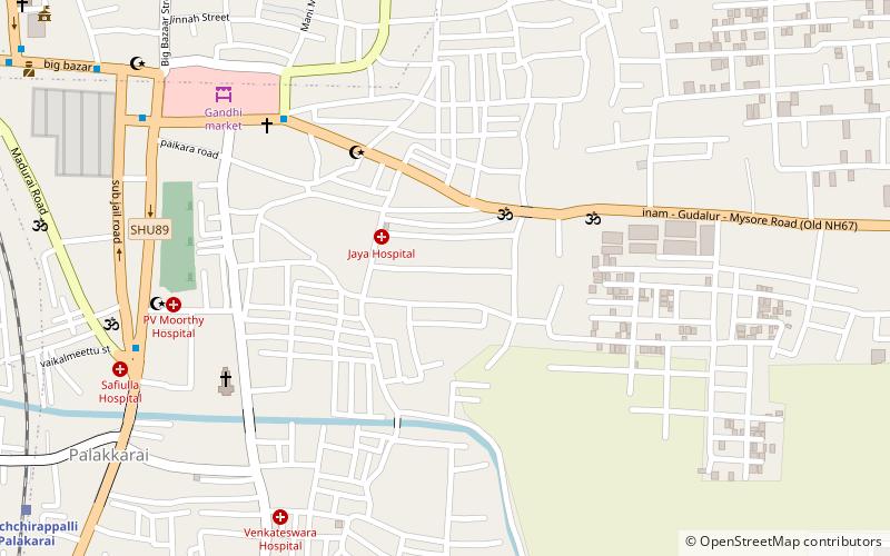
Tiruchirappalli Fort is a dilapidated fort in India which once protected the Old City of Trichy encompassing Big Bazaar Street, Singarathope, Bishop Heber School, Teppakulam and Tiruchirapalli Rock Fort. All that remains now is a railway station with that name and Main Guard Gate along West Boulevard Road in the city of Tiruchirappalli in Tamil Nadu. The fort can be traced along West Boulevard Road in West, East Boulevard Road in East, Butter-worth Road in North and Gandhi Market to the South. ()
Coordinates: 10°48'18"N, 78°41'6"E
Address
Tiruchirappalli
ContactAdd
Social media
Add
Day trips
Tiruchirappalli Fort – popular in the area (distance from the attraction)
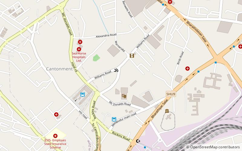
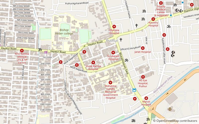
Nearby attractions include: Basilica of the Holy Redeemer, Tiruchirappalli Cantonment, Thillai Nagar, Railway Heritage Centre.
Frequently Asked Questions (FAQ)
Which popular attractions are close to Tiruchirappalli Fort?
Nearby attractions include Tiruchirappalli Cantonment, Tiruchirappalli (10 min walk), Beema Nagar, Tiruchirappalli (12 min walk), Railway Heritage Centre, Tiruchirappalli (15 min walk), K.A.P. Viswanatham Government Medical College, Tiruchirappalli (19 min walk).
How to get to Tiruchirappalli Fort by public transport?
The nearest stations to Tiruchirappalli Fort:
Bus
Train
Bus
- bus stop (14 min walk)
- Trichy Central Bus Stand (15 min walk)
Train
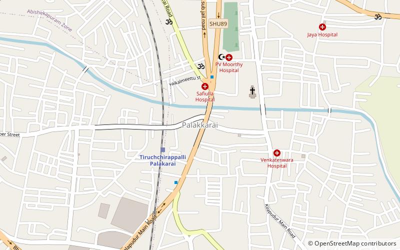
- Tiruchchirappalli Palakarai (17 min walk)
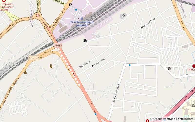
- Tiruchchirappalli Junction (19 min walk)

