Tiruchirappalli Cantonment, Tiruchirappalli
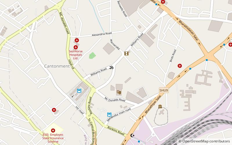
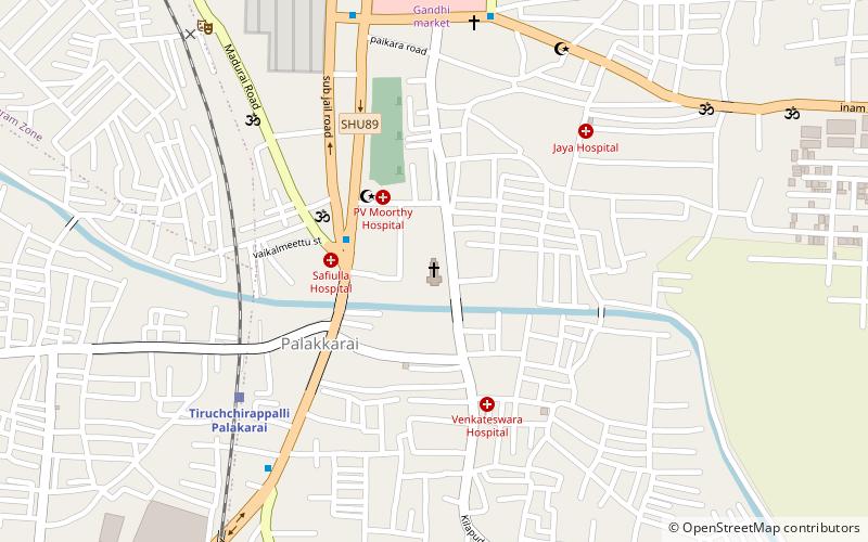
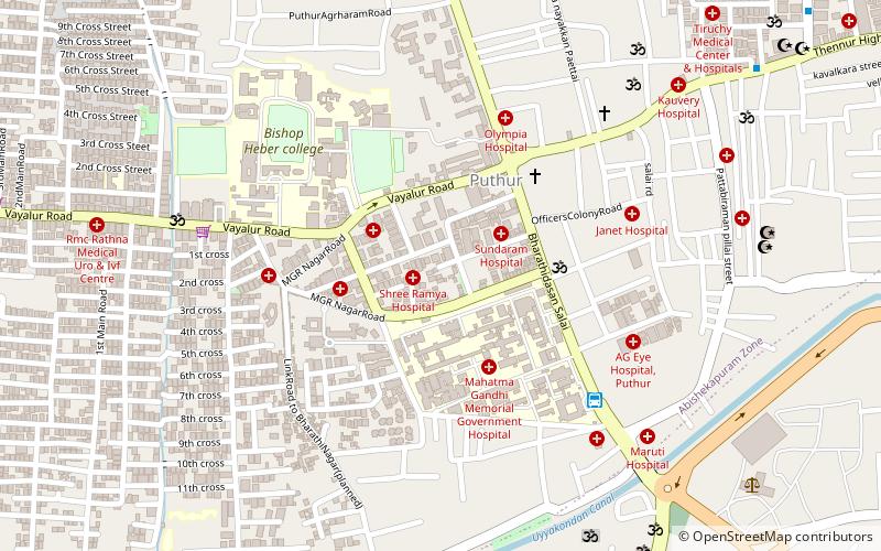
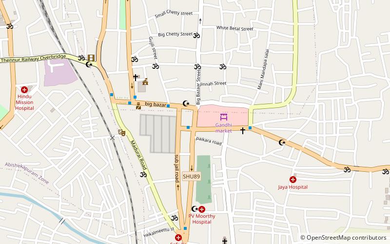
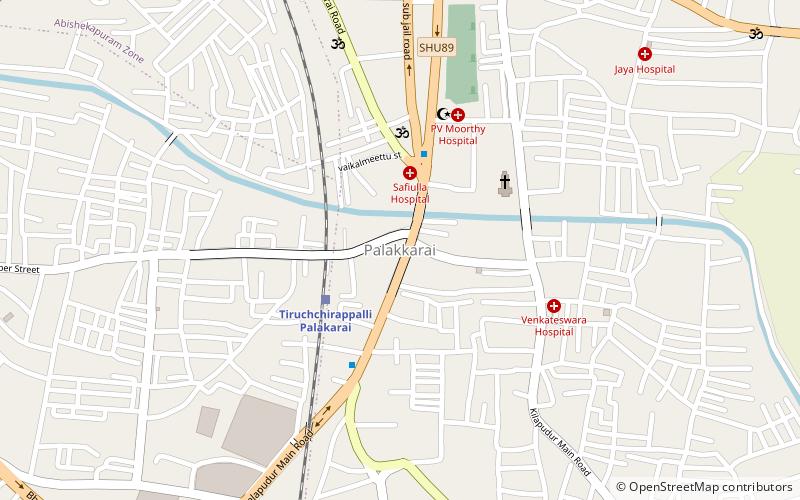
Map
Facts and practical information
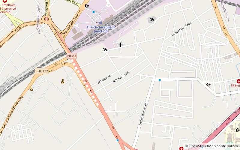
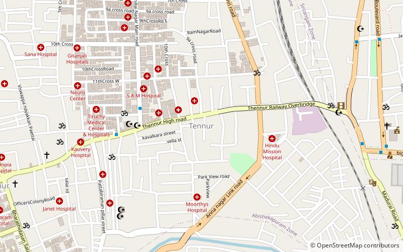
The Tiruchirappalli Cantonment is a residential neighbourhood in the city of Tiruchirappalli. It originated as a cantonment of the Madras Regiment in the 18th century. Most of the hotels and restaurants and the main tourist office and post office of Tiruchirappalli are located here. The Tiruchirappalli Junction is also located in the cantonment area. ()
Coordinates: 10°48'0"N, 78°40'59"E
Address
Tiruchirappalli
ContactAdd
Social media
Add
Day trips
Tiruchirappalli Cantonment – popular in the area (distance from the attraction)
Nearby attractions include: Basilica of the Holy Redeemer, Thillai Nagar, Tiruchirappalli Fort, Railway Heritage Centre.
Frequently Asked Questions (FAQ)
Which popular attractions are close to Tiruchirappalli Cantonment?
Nearby attractions include Railway Heritage Centre, Tiruchirappalli (8 min walk), Tiruchirappalli Fort, Tiruchirappalli (10 min walk), K.A.P. Viswanatham Government Medical College, Tiruchirappalli (11 min walk), Mannarpuram, Tiruchirappalli (18 min walk).
How to get to Tiruchirappalli Cantonment by public transport?
The nearest stations to Tiruchirappalli Cantonment:
Bus
Train
Bus
- Omni Bus stand (6 min walk)
- Trichy Central Bus Stand (6 min walk)
Train
- Tiruchchirappalli Junction (11 min walk)
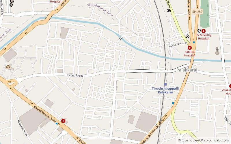
- Tiruchchirappalli Palakarai (24 min walk)
