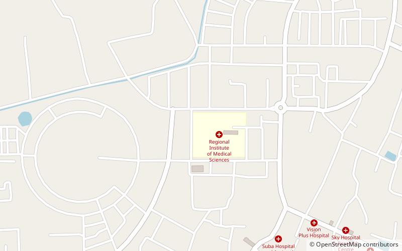
Regional Institute of Medical Sciences, Imphal
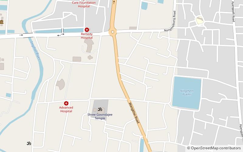
Map
Facts and practical information
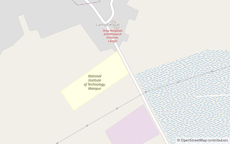
The Regional Institute of Medical Sciences was established on 14 September 1972 in the name of the Regional Medical College. It is situated in a locality at Lamphelpat in Manipur, India. It is run by a society named "North Eastern Regional Medical College Society" which was duly registered under the Manipur Societies Registration Act, 1989. ()
Established: 14 September 1972 (53 years ago)Coordinates: 24°49'2"N, 93°55'19"E
Getting there by public transportation
Public transportation stops near this location
- Bus
 Bus
Bus
- Calculate routeJeeps to Silchar 26 min walk
- Calculate routeBus to Moirang 27 min walk
- Calculate routeWinger to Dimapur 27 min walk
- Calculate routeBus and Winger to Dimapur and other cities 27 min walk
Day trips


Frequently Asked Questions (FAQ)
How to get to Regional Institute of Medical Sciences by public transport?
The nearest stations to Regional Institute of Medical Sciences:
Bus
Bus
- Jeeps to Silchar (26 min walk)
- Bus to Moirang (27 min walk)