Babughat, Kolkata
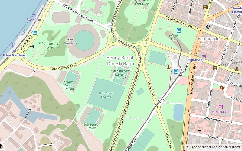
Map

Map

Facts and practical information
Babughat is one of the many ghats built during British Raj, along the bank of Hooghly River on Strand Road, Kolkata at B. B. D. Bagh, Kolkata. ()
Coordinates: 22°34'4"N, 88°20'28"E
Address
Hare StreetKolkata
ContactAdd
Social media
Add
Day trips
Babughat – popular in the area (distance from the attraction)
Nearby attractions include: New Market, Eden Gardens, Netaji Indoor Stadium, Town Hall.
Frequently Asked Questions (FAQ)
Which popular attractions are close to Babughat?
Nearby attractions include Netaji Indoor Stadium, Kolkata (4 min walk), Calcutta High Court, Kolkata (5 min walk), Town Hall, Kolkata (7 min walk), Eden Gardens, Kolkata (7 min walk).
How to get to Babughat by public transport?
The nearest stations to Babughat:
Bus
Train
Tram
Metro
Bus
- Babughat bus stand (6 min walk)
- B.B.D. Bag (17 min walk)
Train
- Eden Gardens (9 min walk)
- BBD Bagh (19 min walk)
Tram
- Esplanade • Lines: 36 (17 min walk)
- Howrah Bridge (30 min walk)
Metro
- Esplanade • Lines: 1 (19 min walk)
- Chandni Chowk • Lines: 1 (22 min walk)


