B. B. D. Bagh, Kolkata
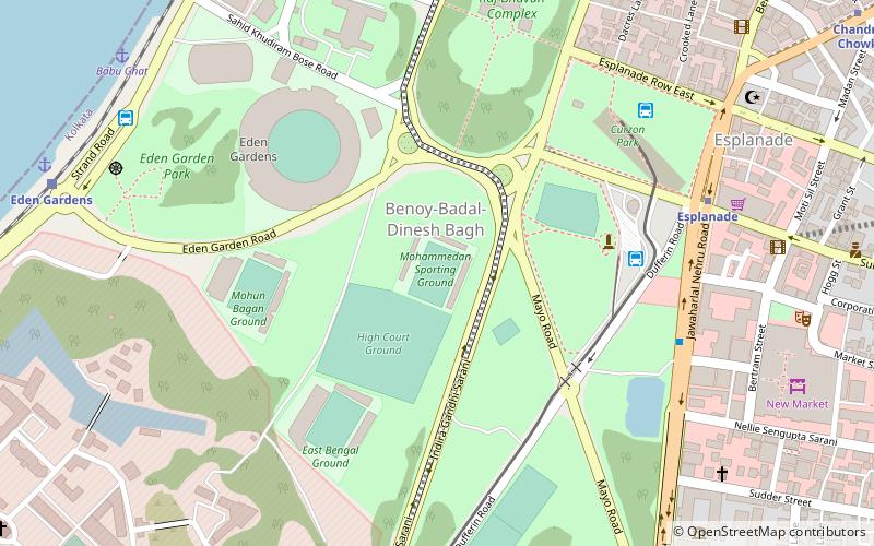
Map
Facts and practical information
Address
Hare StreetKolkata
ContactAdd
Social media
Add
Getting there by public transportation
Public transportation stops near this location
- Metro
- Bus
- Tram
- Train
 Metro
Metro
- Calculate routeB.B.D. Bag 3 min walk
- Calculate routeEsplanade 17 min walk
- Calculate routeEsplanade Bus Stand to Airport 17 min walk
- Calculate routeBBD Bagh 10 min walk
- Calculate routeHowrah Junction 22 min walk
- Calculate routeEden Gardens 23 min walk
- Calculate routePrinsep Ghat 40 min walk
- Calculate routeChandni Chowk 13 min walk
- Calculate routeEsplanade 16 min walk
- Calculate routeCentral 16 min walk
- Calculate routeMahatma Gandhi Road 26 min walk
- Calculate routeEsplanade 16 min walk
- Calculate routeHowrah Bridge 19 min walk
Day trips

Frequently Asked Questions (FAQ)
Which popular attractions are close to B. B. D. Bagh?
Nearby attractions include Lal Dighi, Kolkata (1 min walk), General Post Office, Kolkata (3 min walk), Currency Building, Kolkata (4 min walk), St. John's Church, Kolkata (6 min walk).
How to get to B. B. D. Bagh by public transport?
The nearest stations to B. B. D. Bagh:
Bus
Train
Metro
Tram
Bus
- B.B.D. Bag (3 min walk)
- Esplanade (17 min walk)
Train
- BBD Bagh (10 min walk)
- Howrah Junction (22 min walk)
Metro
- Chandni Chowk • Lines: 1 (13 min walk)
- Esplanade • Lines: 1 (16 min walk)
Tram
- Esplanade • Lines: 36 (16 min walk)
- Howrah Bridge (19 min walk)