Panja Sharif, Delhi
Map
Map

Facts and practical information
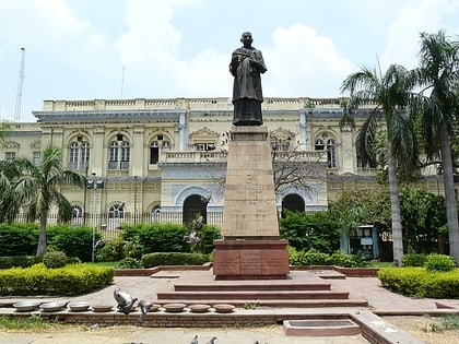
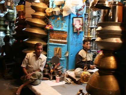
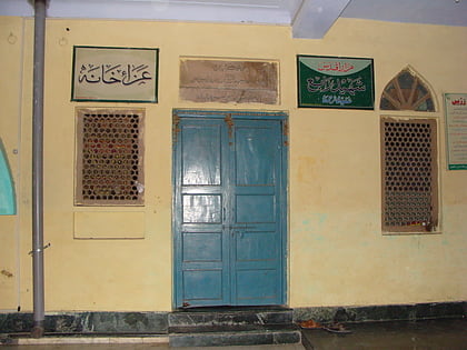
Panja Sharif the oldest Karbala in the city of Delhi. It is located at Kashmiri Gate. It is a major majlis khana used for Karbala mourning ceremonies. ()
Coordinates: 28°39'3"N, 77°13'59"E
Address
Central Delhi (Jama Masjid)Delhi
ContactAdd
Social media
Add
Day trips
Panja Sharif – popular in the area (distance from the attraction)
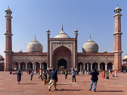
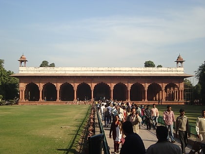
Nearby attractions include: Jama Masjid, Red Fort, Chandni Chowk, Moti Masjid.
Frequently Asked Questions (FAQ)
Which popular attractions are close to Panja Sharif?
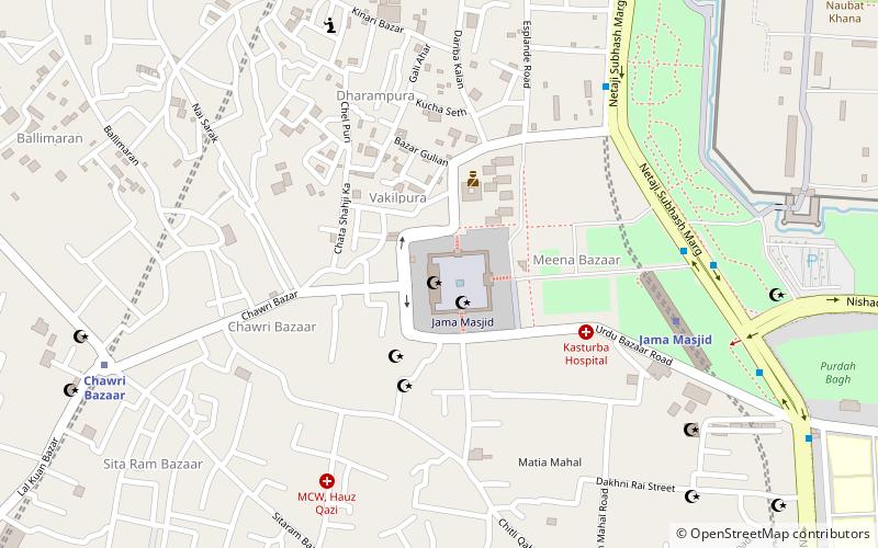
Nearby attractions include Shia Jama Mosque, Delhi (1 min walk), Jama Masjid, Delhi (1 min walk), Urdu Bazaar, Delhi (3 min walk), Naya Mandir, Delhi (4 min walk).
How to get to Panja Sharif by public transport?
The nearest stations to Panja Sharif:
Metro
Bus
Train
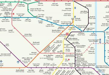
Metro
- Jama Masjid • Lines: Violet Line (8 min walk)
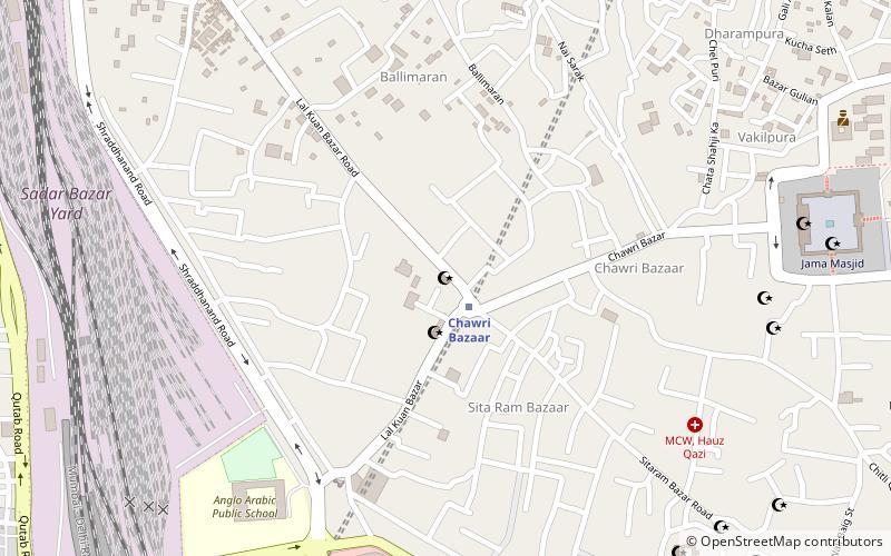
- Chawri Bazaar • Lines: Yellow Line (11 min walk)
Bus
- Lal Quila • Lines: 347, 348, 405, 419, 425, 429, 502 (8 min walk)
- Jama Masjid • Lines: 118Ext, 347, 348, 405, 419, 425, 429, 502 (8 min walk)
Train
- Delhi Junction (20 min walk)
- New Delhi (24 min walk)
 Metro
Metro