Ramanthapur, Hyderabad
Map
Facts and practical information
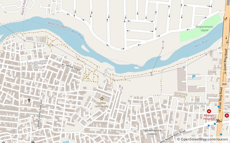
Ramanthapur lies in the eastern part of the city of Hyderabad, located in the Indian state of Telangana. It lies between Uppal and Amberpet, on the road from Uppal to Kachiguda. The area has been drastically developed when compared to the early 1920s. The population has also sighted a raise with increase in construction of new residential buildings. It forms Ward No. 9 of. ()
Area: 1.01 mi²Coordinates: 17°22'48"N, 78°33'0"E
Address
L.B. Nagar - Gaddiannaram (Kothapet)Hyderabad
ContactAdd
Social media
Add
Getting there by public transportation
Public transportation stops near this location
- Metro
- Bus
 Metro
Metro
- Calculate routeNagole 25 min walk
- Calculate routeChaitanyapuri 29 min walk
- Calculate routeChaitanyapuri Bus Stop 36 min walk
Day trips
Ramanthapur – popular in the area (distance from the attraction)
Nearby attractions include: Ashtalakshmi Temple, Himayatnagar, Kothapet, Nagole.
Frequently Asked Questions (FAQ)
Which popular attractions are close to Ramanthapur?
Nearby attractions include Himayatnagar, Hyderabad (10 min walk), Kothapet, Hyderabad (10 min walk).
How to get to Ramanthapur by public transport?
The nearest stations to Ramanthapur:
Metro
Bus
Metro
- Nagole • Lines: 3 (25 min walk)
- Chaitanyapuri • Lines: Red Line (29 min walk)
Bus
- Chaitanyapuri Bus Stop • Lines: 201K (36 min walk)